Distance to Raoul, Georgia

Calculating Your Route
Just a moment while we process your request...
Location Information
-
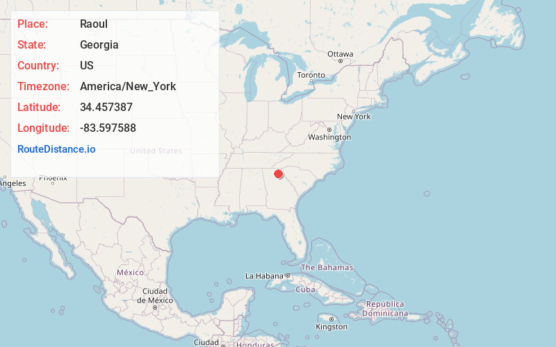
Full AddressRaoul, GA 30510
-
Coordinates34.4573867, -83.5975882
-
LocationRaoul , Georgia , US
-
TimezoneAmerica/New_York
-
Current Local Time3:11:07 PM America/New_YorkSunday, June 1, 2025
-
Page Views0
About Raoul
Raoul is an unincorporated community and census-designated place in Habersham County, Georgia, United States. As of the 2010 census, the CDP had a population of 2,558, up from 1,816 at the 2000 census.
Nearby Places
Found 10 places within 50 miles

Baldwin
4.2 mi
6.8 km
Baldwin, GA
Get directions

Cornelia
5.5 mi
8.9 km
Cornelia, GA
Get directions

Lula
6.2 mi
10.0 km
Lula, GA
Get directions

Cleveland
13.5 mi
21.7 km
Cleveland, GA 30528
Get directions

Gainesville
17.0 mi
27.4 km
Gainesville, GA
Get directions

Toccoa
17.2 mi
27.7 km
Toccoa, GA
Get directions

Commerce
19.3 mi
31.1 km
Commerce, GA
Get directions

Dahlonega
22.5 mi
36.2 km
Dahlonega, GA 30533
Get directions

Oakwood
22.8 mi
36.7 km
Oakwood, GA
Get directions

Jefferson
23.6 mi
38.0 km
Jefferson, GA
Get directions
Location Links
Local Weather
Weather Information
Coming soon!
Location Map
Static map view of Raoul, Georgia
Browse Places by Distance
Places within specific distances from Raoul
Short Distances
Long Distances
Click any distance to see all places within that range from Raoul. Distances shown in miles (1 mile ≈ 1.61 kilometers).