Distance to Rackerby, California

Calculating Your Route
Just a moment while we process your request...
Location Information
-
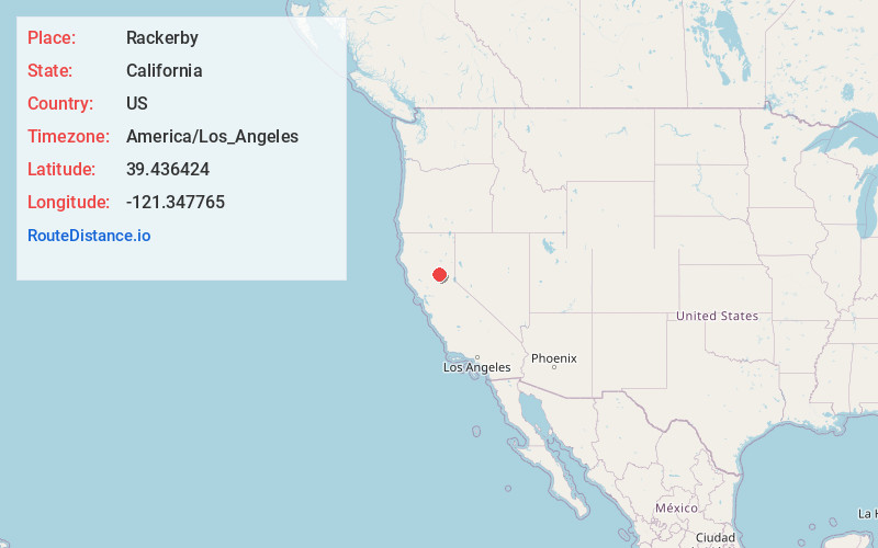
Full AddressRackerby, CA 95914
-
Coordinates39.436424, -121.3477649
-
LocationRackerby , California , US
-
TimezoneAmerica/Los_Angeles
-
Current Local Time11:17:07 PM America/Los_AngelesMonday, May 19, 2025
-
Page Views0
About Rackerby
Rackerby is a census-designated place straddling the border between Butte County and Yuba County in California. It is 24 miles north-northeast of Marysville, at an elevation of 1,184 feet. Rackerby's population was 204 at the 2010 census.
Nearby Places
Found 10 places within 50 miles

Challenge-Brownsville
3.6 mi
5.8 km
Challenge-Brownsville, CA
Get directions

Bangor
4.5 mi
7.2 km
Bangor, CA
Get directions

Forbestown
7.0 mi
11.3 km
Forbestown, CA
Get directions

Oroville East
8.4 mi
13.5 km
Oroville East, CA 95966
Get directions

Kelly Ridge
8.7 mi
14.0 km
Kelly Ridge, CA 95966
Get directions

Dobbins
8.7 mi
14.0 km
Dobbins, CA
Get directions

Loma Rica
9.4 mi
15.1 km
Loma Rica, CA
Get directions

Palermo
10.2 mi
16.4 km
Palermo, CA
Get directions

South Oroville
10.8 mi
17.4 km
South Oroville, CA 95966
Get directions

Clipper Mills
11.8 mi
19.0 km
Clipper Mills, CA 95930
Get directions
Location Links
Local Weather
Weather Information
Coming soon!
Location Map
Static map view of Rackerby, California
Browse Places by Distance
Places within specific distances from Rackerby
Short Distances
Long Distances
Click any distance to see all places within that range from Rackerby. Distances shown in miles (1 mile ≈ 1.61 kilometers).