Distance to Radium, Minnesota

Calculating Your Route
Just a moment while we process your request...
Location Information
-
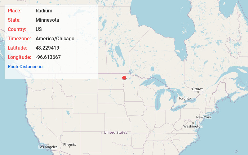
Full AddressRadium, MN 56762
-
Coordinates48.2294188, -96.6136673
-
LocationRadium , Minnesota , US
-
TimezoneAmerica/Chicago
-
Current Local Time7:11:35 PM America/ChicagoFriday, May 30, 2025
-
Page Views0
About Radium
Radium is an unincorporated community in section 19 of Comstock Township, Marshall County, Minnesota, United States. It was built alongside the Minneapolis, St. Paul and Sault Ste. Marie Railroad branch line built in 1905 from Thief River Falls, Minnesota, to Kenmare, North Dakota.
Nearby Places
Found 10 places within 50 miles

Warren
7.7 mi
12.4 km
Warren, MN 56762
Get directions

Roan
8.1 mi
13.0 km
Roan, MN 56762
Get directions
Luna
8.5 mi
13.7 km
Luna, MN 56762
Get directions
Viking
9.6 mi
15.4 km
Viking, MN 56760
Get directions
Ellerth
10.7 mi
17.2 km
Ellerth, MN 56738
Get directions
Angus
11.0 mi
17.7 km
Angus, MN 56762
Get directions

Argyle
11.9 mi
19.2 km
Argyle, MN 56713
Get directions
March
13.3 mi
21.4 km
March, MN 56762
Get directions
Florian
14.7 mi
23.7 km
Florian, MN 56757
Get directions
Tabor
15.5 mi
24.9 km
Tabor, MN 56762
Get directions
Location Links
Local Weather
Weather Information
Coming soon!
Location Map
Static map view of Radium, Minnesota
Browse Places by Distance
Places within specific distances from Radium
Short Distances
Long Distances
Click any distance to see all places within that range from Radium. Distances shown in miles (1 mile ≈ 1.61 kilometers).