Distance to Radley, Indiana

Calculating Your Route
Just a moment while we process your request...
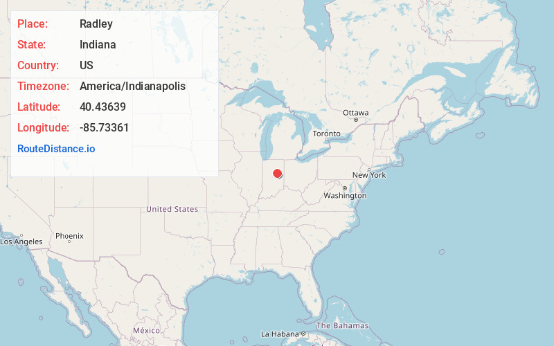
Location Information
-
Full AddressRadley, IN 46938
-
Coordinates40.43639, -85.73361
-
LocationRadley , Indiana , US
-
TimezoneAmerica/Indianapolis
-
Page Views0
About Radley
Radley is an unincorporated community in Liberty Township, Grant County, Indiana.
Nearby Places
Found 10 places within 50 miles

Hackleman
1.3 mi
2.1 km
Hackleman, IN 46928
Get directions
Cole
4.1 mi
6.6 km
Cole, Sims Township, IN 46986
Get directions

Fairmount
4.6 mi
7.4 km
Fairmount, IN 46928
Get directions
Point Isabel
4.9 mi
7.9 km
Point Isabel, IN 46928
Get directions
Roseburg
5.8 mi
9.3 km
Roseburg, IN 46953
Get directions

Jonesboro
6.3 mi
10.1 km
Jonesboro, IN
Get directions
Kiley
6.9 mi
11.1 km
Kiley, Franklin Township, IN 46953
Get directions

Swayzee
6.9 mi
11.1 km
Swayzee, IN 46986
Get directions

Gas City
7.2 mi
11.6 km
Gas City, IN
Get directions
Sims
7.8 mi
12.6 km
Sims, IN 46986
Get directions
Location Links
Local Weather
Weather Information
Coming soon!
Location Map
Static map view of Radley, Indiana
Browse Places by Distance
Places within specific distances from Radley
Short Distances
Long Distances
Click any distance to see all places within that range from Radley. Distances shown in miles (1 mile ≈ 1.61 kilometers).