Distance to Radnor, Ohio

Calculating Your Route
Just a moment while we process your request...
Location Information
-
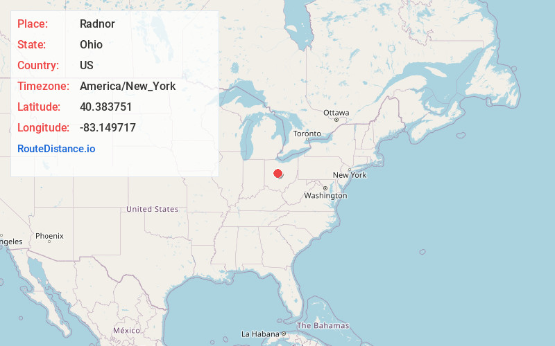
Full AddressRadnor, OH 43066
-
Coordinates40.3837512, -83.1497168
-
LocationRadnor , Ohio , US
-
TimezoneAmerica/New_York
-
Current Local Time3:42:05 PM America/New_YorkTuesday, June 24, 2025
-
Page Views0
About Radnor
Radnor is an unincorporated community and census-designated place in central Radnor Township, Delaware County, Ohio, United States. As of the 2020 census it had a population of 180. Radnor has a post office with the ZIP code of 43066. It lies along State Route 203 at its intersection with Radnor Road.


Nearby Places
Found 10 places within 50 miles

Prospect
5.0 mi
8.0 km
Prospect, OH 43342
Get directions

Magnetic Springs
6.3 mi
10.1 km
Magnetic Springs, OH
Get directions

Waldo
6.4 mi
10.3 km
Waldo, OH
Get directions

Delaware
7.3 mi
11.7 km
Delaware, OH 43015
Get directions

Richwood
8.3 mi
13.4 km
Richwood, OH 43344
Get directions

Ostrander
8.8 mi
14.2 km
Ostrander, OH 43061
Get directions

Ashley
10.4 mi
16.7 km
Ashley, OH 43003
Get directions

Green Camp
10.7 mi
17.2 km
Green Camp, OH
Get directions

Marion
14.2 mi
22.9 km
Marion, OH 43302
Get directions

Marysville
15.3 mi
24.6 km
Marysville, OH 43040
Get directions
Location Links
Local Weather
Weather Information
Coming soon!
Location Map
Static map view of Radnor, Ohio
Browse Places by Distance
Places within specific distances from Radnor
Short Distances
Long Distances
Click any distance to see all places within that range from Radnor. Distances shown in miles (1 mile ≈ 1.61 kilometers).