Distance to Radnor, Montana

Calculating Your Route
Just a moment while we process your request...
Location Information
-
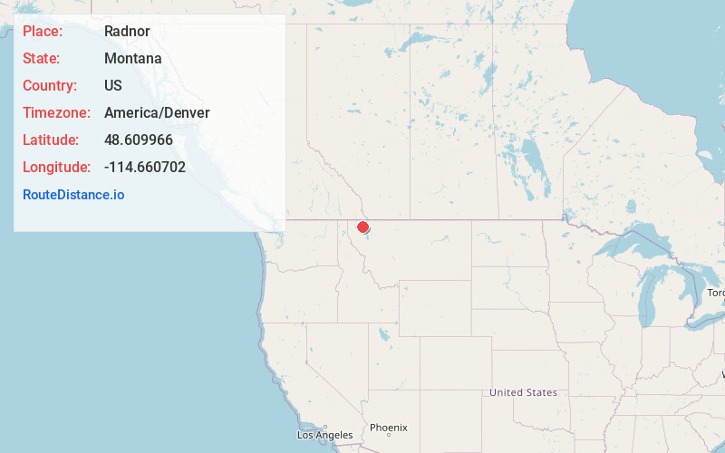
Full AddressRadnor, MT 59927
-
Coordinates48.6099656, -114.6607024
-
LocationRadnor , Montana , US
-
TimezoneAmerica/Denver
-
Current Local Time5:44:11 PM America/DenverSunday, June 22, 2025
-
Page Views0

Nearby Places
Found 10 places within 50 miles

Olney
5.6 mi
9.0 km
Olney, MT 59937
Get directions

Stryker
6.7 mi
10.8 km
Stryker, MT 59933
Get directions

Lupfer
11.1 mi
17.9 km
Lupfer, MT 59937
Get directions

Trego
11.6 mi
18.7 km
Trego, MT
Get directions
Ant Flat
12.6 mi
20.3 km
Ant Flat, Trego, MT 59923
Get directions

Fortine
15.4 mi
24.8 km
Fortine, MT
Get directions
Round Prairie
17.8 mi
28.6 km
Round Prairie, MT 59937
Get directions

Whitefish
20.3 mi
32.7 km
Whitefish, MT 59937
Get directions
Tobacco
21.0 mi
33.8 km
Tobacco, MT 59917
Get directions
Ford
22.4 mi
36.0 km
Ford, MT 59928
Get directions
Location Links
Local Weather
Weather Information
Coming soon!
Location Map
Static map view of Radnor, Montana
Browse Places by Distance
Places within specific distances from Radnor
Short Distances
Long Distances
Click any distance to see all places within that range from Radnor. Distances shown in miles (1 mile ≈ 1.61 kilometers).