Distance to Stryker, Montana

Calculating Your Route
Just a moment while we process your request...
Location Information
-
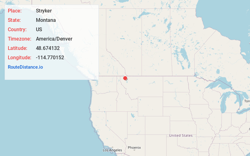
Full AddressStryker, MT 59933
-
Coordinates48.674132, -114.770152
-
LocationStryker , Montana , US
-
TimezoneAmerica/Denver
-
Current Local Time2:47:48 AM America/DenverFriday, June 6, 2025
-
Page Views0
About Stryker
Stryker is an unincorporated community and census-designated place in Lincoln County, Montana, United States. As of the 2010 census it had a population of 26. Stryker has the 59933 ZIP code.
Named for local homesteaders, Stryker served as a stage station on the Kalispell–Fort Steele trail.
Nearby Places
Found 10 places within 50 miles

Trego
5.0 mi
8.0 km
Trego, MT
Get directions

Fortine
8.7 mi
14.0 km
Fortine, MT
Get directions

Olney
12.3 mi
19.8 km
Olney, MT 59937
Get directions

Eureka
19.2 mi
30.9 km
Eureka, MT
Get directions

Rexford
24.0 mi
38.6 km
Rexford, MT 59930
Get directions

Whitefish
27.0 mi
43.5 km
Whitefish, MT 59937
Get directions

West Kootenai
28.2 mi
45.4 km
West Kootenai, MT 59930
Get directions
Rhodes
30.5 mi
49.1 km
Rhodes, MT 59901
Get directions

Columbia Falls
33.8 mi
54.4 km
Columbia Falls, MT 59912
Get directions
Helena Flats
36.5 mi
58.7 km
Helena Flats, MT
Get directions
Location Links
Local Weather
Weather Information
Coming soon!
Location Map
Static map view of Stryker, Montana
Browse Places by Distance
Places within specific distances from Stryker
Short Distances
Long Distances
Click any distance to see all places within that range from Stryker. Distances shown in miles (1 mile ≈ 1.61 kilometers).