Distance to Ragland, West Virginia

Calculating Your Route
Just a moment while we process your request...
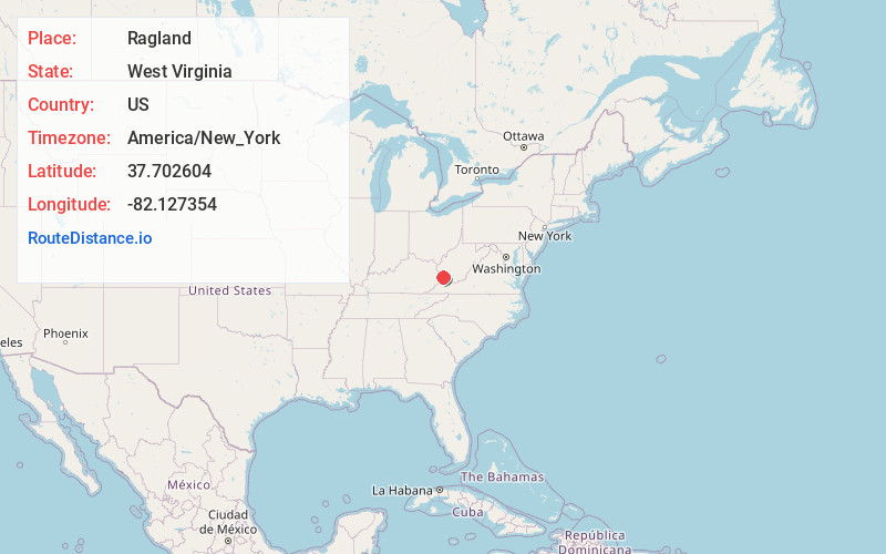
Location Information
-
Full AddressRagland, WV 25670
-
Coordinates37.7026039, -82.1273537
-
LocationRagland , West Virginia , US
-
TimezoneAmerica/New_York
-
Current Local Time1:50:14 PM America/New_YorkWednesday, May 21, 2025
-
Page Views0
About Ragland
Ragland is an unincorporated community just outside the town of Delbarton in Mingo County in the U.S. state of West Virginia. Ragland is home to the Coal Mac mining complex and the Ragland Church of Christ.
The community most likely was named after the local Ragland family.
Nearby Places
Found 10 places within 50 miles

Lando Mines
1.0 mi
1.6 km
Lando Mines, WV 25670
Get directions
Taylorville
3.1 mi
5.0 km
Taylorville, WV 25670
Get directions
Delbarton
3.1 mi
5.0 km
Delbarton, WV
Get directions

Red Jacket
3.8 mi
6.1 km
Red Jacket, WV
Get directions

Matewan
5.9 mi
9.5 km
Matewan, WV
Get directions
Cinderella
6.1 mi
9.8 km
Cinderella, WV 25661
Get directions
Buskirk
6.1 mi
9.8 km
Buskirk, KY 41544
Get directions
Rawl
6.2 mi
10.0 km
Rawl, WV 25661
Get directions

McCarr
6.4 mi
10.3 km
McCarr, KY 41544
Get directions
Merrimac
6.7 mi
10.8 km
Merrimac, WV 25661
Get directions
Location Links
Local Weather
Weather Information
Coming soon!
Location Map
Static map view of Ragland, West Virginia
Browse Places by Distance
Places within specific distances from Ragland
Short Distances
Long Distances
Click any distance to see all places within that range from Ragland. Distances shown in miles (1 mile ≈ 1.61 kilometers).