Distance to Rawl, West Virginia

Calculating Your Route
Just a moment while we process your request...
Location Information
-
Full AddressRawl, WV 25661
-
Coordinates37.6498252, -82.219582
-
LocationRawl , West Virginia , US
-
TimezoneAmerica/New_York
-
Current Local Time4:37:54 PM America/New_YorkThursday, July 3, 2025
-
Page Views0
About Rawl
Rawl is an unincorporated community in Mingo County, West Virginia, United States. Rawl is located on the Tug Fork across from Kentucky, 3.5 miles southeast of Williamson. Rawl has a post office with ZIP code 25691.
Nearby Places
Found 10 places within 50 miles

Merrimac
1.0 mi
1.6 km
Merrimac, WV 25661
Get directions
Leckieville
3.0 mi
4.8 km
Leckieville, KY 41514
Get directions

Belfry
3.4 mi
5.5 km
Belfry, KY 41514
Get directions

McCarr
3.6 mi
5.8 km
McCarr, KY 41544
Get directions

Williamson
3.6 mi
5.8 km
Williamson, WV 25661
Get directions
Taylorville
3.6 mi
5.8 km
Taylorville, WV 25670
Get directions

Matewan
3.6 mi
5.8 km
Matewan, WV
Get directions

Red Jacket
4.3 mi
6.9 km
Red Jacket, WV
Get directions
Delbarton
4.6 mi
7.4 km
Delbarton, WV
Get directions

Chattaroy
5.0 mi
8.0 km
Chattaroy, WV 25661
Get directions
Location Links
Local Weather
Weather Information
Coming soon!
Location Map
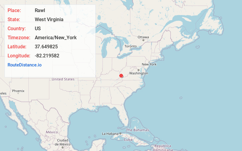
Static map view of Rawl, West Virginia
Browse Places by Distance
Places within specific distances from Rawl
Short Distances
Long Distances
Click any distance to see all places within that range from Rawl. Distances shown in miles (1 mile ≈ 1.61 kilometers).