Distance to Raleigh St & South Rd, North Carolina

Calculating Your Route
Just a moment while we process your request...
Location Information
-
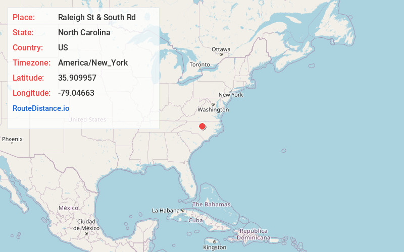
Full AddressRaleigh St & South Rd, Chapel Hill, NC 27514
-
Coordinates35.9099565, -79.0466299
-
LocationChapel Hill , North Carolina , US
-
TimezoneAmerica/New_York
-
Current Local Time5:06:03 PM America/New_YorkTuesday, June 24, 2025
-
Page Views0
Nearby Places
Found 10 places within 50 miles

University of North Carolina at Chapel Hill
0.3 mi
0.5 km
University of North Carolina at Chapel Hill, Chapel Hill, NC
Get directions

Chapel Hill
0.6 mi
1.0 km
Chapel Hill, NC
Get directions

Tenney Circle
0.8 mi
1.3 km
Tenney Circle, Chapel Hill, NC 27514
Get directions
Davie Circle
0.8 mi
1.3 km
Davie Circle, Chapel Hill, NC 27514
Get directions

Carrboro
1.6 mi
2.6 km
Carrboro, NC
Get directions
Briarcliff
2.2 mi
3.5 km
Briarcliff, Chapel Hill, NC 27517
Get directions
Dogwood Acres
2.7 mi
4.3 km
Dogwood Acres, NC 27516
Get directions
Plantation Acres
2.8 mi
4.5 km
Plantation Acres, Carrboro, NC 27510
Get directions
Calvander
4.2 mi
6.8 km
Calvander, NC 27516
Get directions
Eubanks
4.4 mi
7.1 km
Eubanks, NC 27516
Get directions
Location Links
Local Weather
Weather Information
Coming soon!
Location Map
Static map view of Raleigh St & South Rd, North Carolina
Browse Places by Distance
Places within specific distances from Raleigh St & South Rd
Short Distances
Long Distances
Click any distance to see all places within that range from Raleigh St & South Rd. Distances shown in miles (1 mile ≈ 1.61 kilometers).