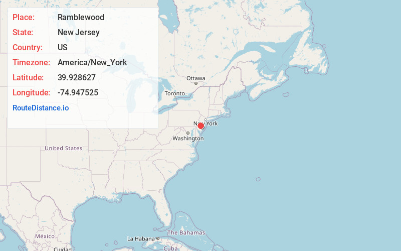
Distance to and from Ramblewood, New Jersey
Ramblewood, Mt Laurel Township, NJ
Mt Laurel Township
New Jersey
US
America/New_York
Location Information
-
Full AddressRamblewood, Mt Laurel Township, NJ
-
Coordinates39.9286273, -74.9475249
-
NeighborhoodRamblewood
-
LocationMt Laurel Township , New Jersey , US
-
TimezoneAmerica/New_York
-
Current Local Time8:18:06 PM America/New_YorkSaturday, May 3, 2025
-
Page Views0
Directions to Nearest Cities
About Ramblewood
Suburban Ramblewood is a compact residential area bisected by the New Jersey Turnpike, around which cluster hotels and chain restaurants. Leafy subdivisions with single-family homes surround public Ramblewood Country Club, which features 27 holes of golf on a rolling green. Nearby Laurel Acres Park has a small lake, sports courts, playgrounds, and a nature trail, and also hosts the annual Mount Laurel Fall Festival.


Nearby Places
Found 10 places within 50 miles

Mt Laurel Township
0.3 mi
0.5 km
Mt Laurel Township, NJ
Get directions

Moorestown
2.4 mi
3.9 km
Moorestown, NJ
Get directions

Maple Shade
2.5 mi
4.0 km
Maple Shade, NJ
Get directions

Cherry Hill Township
3.5 mi
5.6 km
Cherry Hill Township, NJ
Get directions

Evesham
3.9 mi
6.3 km
Evesham, NJ 08053
Get directions

Haddonfield
4.9 mi
7.9 km
Haddonfield, NJ
Get directions

Cinnaminson
5.3 mi
8.5 km
Cinnaminson, NJ 08077
Get directions

Haddon Township
5.6 mi
9.0 km
Haddon Township, NJ
Get directions

Voorhees Township
5.8 mi
9.3 km
Voorhees Township, NJ 08043
Get directions

Delran
6.0 mi
9.7 km
Delran, NJ
Get directions
Mt Laurel Township
0.3 mi
0.5 km
Mt Laurel Township, NJ
Moorestown
2.4 mi
3.9 km
Moorestown, NJ
Maple Shade
2.5 mi
4.0 km
Maple Shade, NJ
Cherry Hill Township
3.5 mi
5.6 km
Cherry Hill Township, NJ
Evesham
3.9 mi
6.3 km
Evesham, NJ 08053
Haddonfield
4.9 mi
7.9 km
Haddonfield, NJ
Cinnaminson
5.3 mi
8.5 km
Cinnaminson, NJ 08077
Haddon Township
5.6 mi
9.0 km
Haddon Township, NJ
Voorhees Township
5.8 mi
9.3 km
Voorhees Township, NJ 08043
Delran
6.0 mi
9.7 km
Delran, NJ
Location Links
Local Weather
Weather Information
Coming soon!
Location Map
Static map view of Ramblewood, New Jersey
Browse Places by Distance
Places within specific distances from Ramblewood
Short Distances
Long Distances
Click any distance to see all places within that range from Ramblewood. Distances shown in miles (1 mile ≈ 1.61 kilometers).