Distance to Ramey, Minnesota

Calculating Your Route
Just a moment while we process your request...
Location Information
-
Full AddressRamey, MN 56338
-
Coordinates45.8352439, -93.9377585
-
LocationRamey , Minnesota , US
-
TimezoneAmerica/Chicago
-
Current Local Time7:11:11 PM America/ChicagoMonday, May 19, 2025
-
Page Views0
About Ramey
Ramey is an unincorporated community in Morrill Township, Morrison County, Minnesota, United States. The community is located along 345th Avenue near its junction with Morrison County Road 26, Nature Road. Nearby places include Pierz, Hillman, and Foley.
Nearby Places
Found 10 places within 50 miles

North Benton
3.9 mi
6.3 km
North Benton, MN 56329
Get directions
Gilman
6.9 mi
11.1 km
Gilman, MN 56329
Get directions
Little Rock
7.5 mi
12.1 km
Little Rock, MN 56373
Get directions
Buckman
8.6 mi
13.8 km
Buckman, MN 56364
Get directions

Ronneby
11.2 mi
18.0 km
Ronneby, MN
Get directions

Foley
11.9 mi
19.2 km
Foley, MN 56329
Get directions
Hillman
12.1 mi
19.5 km
Hillman, MN 56338
Get directions

Genola
12.3 mi
19.8 km
Genola, MN 56364
Get directions
Foreston
12.9 mi
20.8 km
Foreston, MN 56330
Get directions

Pierz
12.9 mi
20.8 km
Pierz, MN 56364
Get directions
Location Links
Local Weather
Weather Information
Coming soon!
Location Map
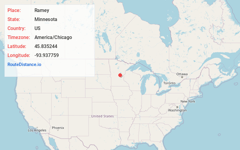
Static map view of Ramey, Minnesota
Browse Places by Distance
Places within specific distances from Ramey
Short Distances
Long Distances
Click any distance to see all places within that range from Ramey. Distances shown in miles (1 mile ≈ 1.61 kilometers).