Distance to Randolph County, Indiana

Calculating Your Route
Just a moment while we process your request...
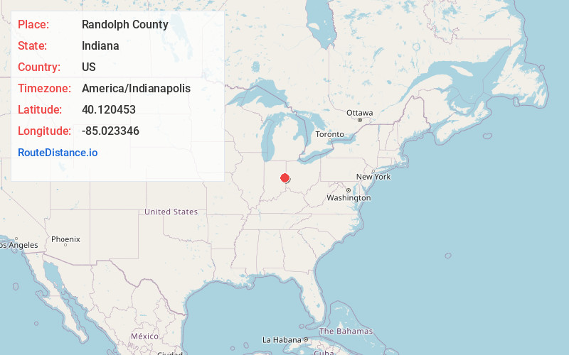
Location Information
-
Full AddressRandolph County, IN
-
Coordinates40.1204532, -85.023346
-
LocationIndiana , US
-
TimezoneAmerica/Indianapolis
-
Page Views0
About Randolph County
Randolph County is a county located in the central section of U.S. state of Indiana, on its eastern border with Ohio. As of 2020, the population was 24,502. The county seat is Winchester.

Nearby Places
Found 10 places within 50 miles

Rural
3.2 mi
5.1 km
Rural, IN 47394
Get directions
Snow Hill
3.7 mi
6.0 km
Snow Hill, IN 47394
Get directions

Winchester
4.2 mi
6.8 km
Winchester, IN 47394
Get directions
Maxville
5.6 mi
9.0 km
Maxville, IN 47340
Get directions
Mull
6.5 mi
10.5 km
Mull, White River Township, IN 47394
Get directions
Pinch
6.6 mi
10.6 km
Pinch, Stoney Creek Township, IN 47340
Get directions

Lynn
6.6 mi
10.6 km
Lynn, IN 47355
Get directions

Farmland
7.2 mi
11.6 km
Farmland, IN 47340
Get directions
Bloomingport Creek
7.3 mi
11.7 km
Bloomingport Creek, Washington Township, IN 47355
Get directions
Modoc
7.5 mi
12.1 km
Modoc, IN 47358
Get directions
Location Links
Local Weather
Weather Information
Coming soon!
Location Map
Static map view of Randolph County, Indiana
Browse Places by Distance
Places within specific distances from Randolph County
Short Distances
Long Distances
Click any distance to see all places within that range from Randolph County. Distances shown in miles (1 mile ≈ 1.61 kilometers).