Distance to Randsburg, California

Calculating Your Route
Just a moment while we process your request...
Location Information
-
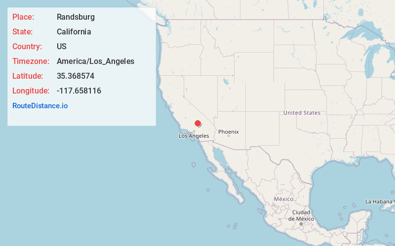
Full AddressRandsburg, CA
-
Coordinates35.3685739, -117.6581161
-
LocationRandsburg , California , US
-
TimezoneAmerica/Los_Angeles
-
Current Local Time7:50:26 PM America/Los_AngelesSaturday, May 31, 2025
-
Page Views0
About Randsburg
Randsburg is a census-designated place in Kern County, California, United States. Randsburg is located 17 miles south of Ridgecrest, at an elevation of 3,504 feet. The population was 69 in the 2010 census, down from 77 in the 2000 census.


Nearby Places
Found 10 places within 50 miles

Johannesburg
1.3 mi
2.1 km
Johannesburg, CA
Get directions

Ridgecrest
17.4 mi
28.0 km
Ridgecrest, CA 93555
Get directions

China Lake Acres
19.9 mi
32.0 km
China Lake Acres, CA 93555
Get directions

Inyokern
21.1 mi
34.0 km
Inyokern, CA
Get directions

California City
25.0 mi
40.2 km
California City, CA
Get directions

Boron
25.5 mi
41.0 km
Boron, CA 93516
Get directions

North Edwards
26.2 mi
42.2 km
North Edwards, CA 93523
Get directions

Searles Valley
31.0 mi
49.9 km
Searles Valley, CA 93562
Get directions

Edwards AFB
33.4 mi
53.8 km
Edwards AFB, CA
Get directions

Mojave
36.5 mi
58.7 km
Mojave, CA 93501
Get directions
Location Links
Local Weather
Weather Information
Coming soon!
Location Map
Static map view of Randsburg, California
Browse Places by Distance
Places within specific distances from Randsburg
Short Distances
Long Distances
Click any distance to see all places within that range from Randsburg. Distances shown in miles (1 mile ≈ 1.61 kilometers).