Distance to Rangerville, Texas

Calculating Your Route
Just a moment while we process your request...
Location Information
-
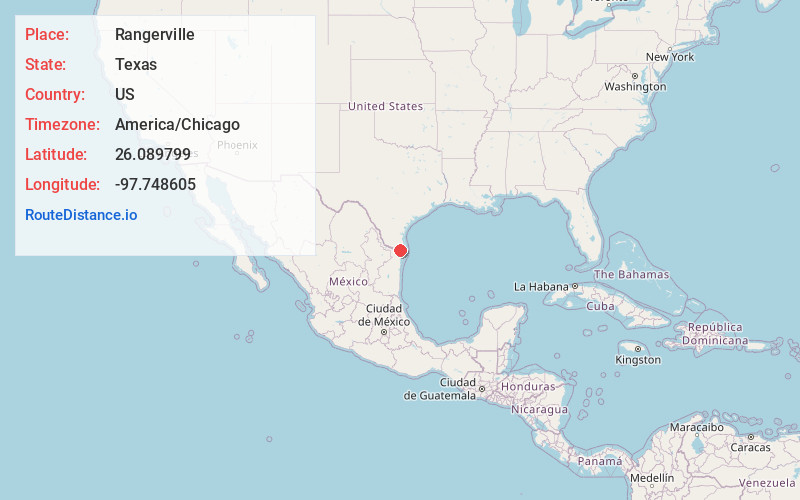
Full AddressRangerville, TX 78586
-
Coordinates26.0897992, -97.7486045
-
LocationRangerville , Texas , US
-
TimezoneAmerica/Chicago
-
Current Local Time12:44:51 AM America/ChicagoSaturday, May 24, 2025
-
Page Views0
About Rangerville
Rangerville is a village in Cameron County, Texas, United States. It was incorporated in 1958. The population was 255 at the 2020 census, up from 289 at the 2010 census.
Rangerville is part of the Brownsville–Harlingen–Raymondville and the Matamoros–Brownsville metropolitan areas.
Nearby Places
Found 10 places within 50 miles

Los Indios
2.8 mi
4.5 km
Los Indios, TX 78586
Get directions

Bluetown-Iglesia Antigua
4.8 mi
7.7 km
Bluetown-Iglesia Antigua, TX
Get directions
La Paloma
5.8 mi
9.3 km
La Paloma, TX 78586
Get directions
Santa Maria
6.3 mi
10.1 km
Santa Maria, TX
Get directions

La Feria
6.7 mi
10.8 km
La Feria, TX 78559
Get directions

La Feria North
7.3 mi
11.7 km
La Feria North, TX 78559
Get directions

Harlingen
7.7 mi
12.4 km
Harlingen, TX
Get directions
Palm Valley
7.7 mi
12.4 km
Palm Valley, TX 78552
Get directions
Bixby
7.8 mi
12.6 km
Bixby, TX 78559
Get directions
Las Palmas-Juarez
7.8 mi
12.6 km
Las Palmas-Juarez, TX 78552
Get directions
Location Links
Local Weather
Weather Information
Coming soon!
Location Map
Static map view of Rangerville, Texas
Browse Places by Distance
Places within specific distances from Rangerville
Short Distances
Long Distances
Click any distance to see all places within that range from Rangerville. Distances shown in miles (1 mile ≈ 1.61 kilometers).