Distance to Rantowles Creek, South Carolina

Calculating Your Route
Just a moment while we process your request...
Location Information
-
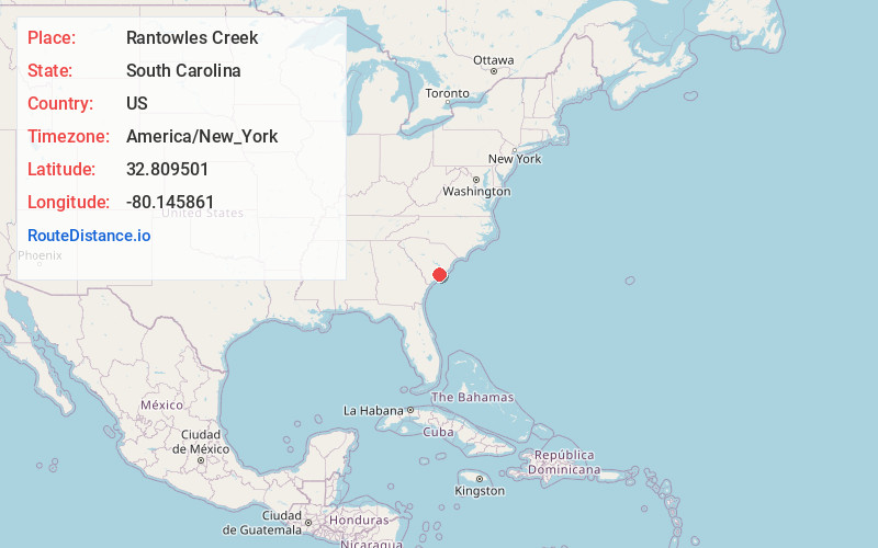
Full AddressRantowles Creek, South Carolina
-
Coordinates32.8095005, -80.1458611
-
LocationSouth Carolina , US
-
TimezoneAmerica/New_York
-
Current Local Time5:26:07 AM America/New_YorkWednesday, June 18, 2025
-
Page Views0
Nearby Places
Found 10 places within 50 miles

Red Top
1.4 mi
2.3 km
Red Top, Charleston, SC 29455
Get directions
Hickory Hill Plantation
4.5 mi
7.2 km
Hickory Hill Plantation, Charleston, SC 29414
Get directions
Humbert Woods
4.9 mi
7.9 km
Humbert Woods, Johns Island, SC 29455
Get directions
Goshen
6.0 mi
9.7 km
Goshen, SC 29449
Get directions

Ravenel
6.5 mi
10.5 km
Ravenel, SC
Get directions
Wando Woods
7.0 mi
11.3 km
Wando Woods, North Charleston, SC 29405
Get directions
Capwells Crossroads
7.4 mi
11.9 km
Capwells Crossroads, Ravenel, SC 29470
Get directions
Warren Crossroads
7.4 mi
11.9 km
Warren Crossroads, SC 29470
Get directions

Hollywood
7.6 mi
12.2 km
Hollywood, SC
Get directions
Bennett
7.9 mi
12.7 km
Bennett, North Charleston, SC 29418
Get directions
Location Links
Local Weather
Weather Information
Coming soon!
Location Map
Static map view of Rantowles Creek, South Carolina
Browse Places by Distance
Places within specific distances from Rantowles Creek
Short Distances
Long Distances
Click any distance to see all places within that range from Rantowles Creek. Distances shown in miles (1 mile ≈ 1.61 kilometers).