Distance to Rawhide, Nevada

Calculating Your Route
Just a moment while we process your request...
Location Information
-
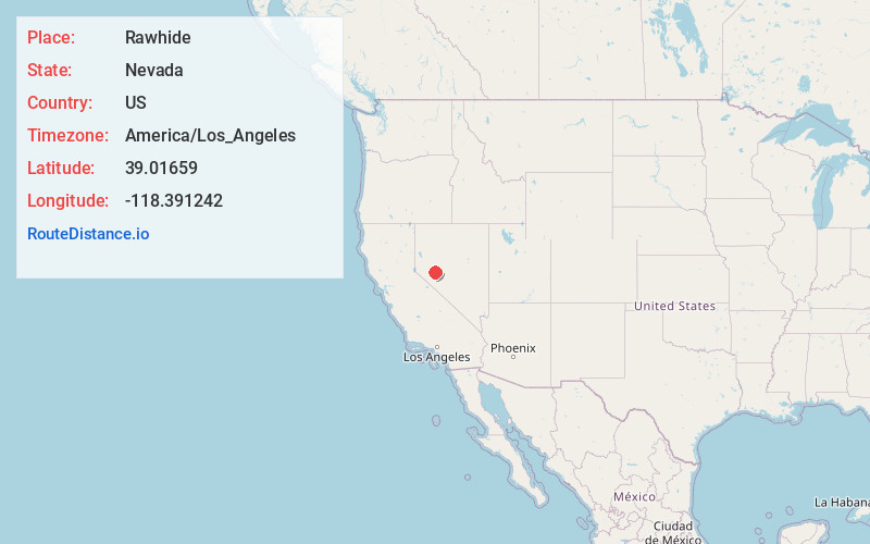
Full AddressRawhide, NV
-
Coordinates39.0165903, -118.391242
-
LocationNevada , US
-
TimezoneAmerica/Los_Angeles
-
Current Local Time8:50:50 PM America/Los_AngelesThursday, June 19, 2025
-
Page Views0
About Rawhide
Rawhide, Nevada was a town in Mineral County, Nevada, approximately 55 miles southeast of Fallon. The site of Rawhide has been dismantled by recent mining activity, with little or nothing remaining to be seen.
Nearby Places
Found 10 places within 50 miles

Midway
20.8 mi
33.5 km
Midway, NV
Get directions

Schurz
23.0 mi
37.0 km
Schurz, NV 89427
Get directions

Middlegate
27.1 mi
43.6 km
Middlegate, NV
Get directions

Gabbs
27.2 mi
43.8 km
Gabbs, NV 89409
Get directions

Walker Lake
28.1 mi
45.2 km
Walker Lake, Nevada
Get directions
Thorne
30.6 mi
49.2 km
Thorne, NV 89415
Get directions
Kinkaid
32.6 mi
52.5 km
Kinkaid, NV
Get directions

Fallon Station
33.1 mi
53.3 km
Fallon Station, NV
Get directions
Goldyke
34.1 mi
54.9 km
Goldyke, NV
Get directions

Stillwater
36.0 mi
57.9 km
Stillwater, NV 89406
Get directions
Location Links
Local Weather
Weather Information
Coming soon!
Location Map
Static map view of Rawhide, Nevada
Browse Places by Distance
Places within specific distances from Rawhide
Short Distances
Long Distances
Click any distance to see all places within that range from Rawhide. Distances shown in miles (1 mile ≈ 1.61 kilometers).