Distance to Stillwater, Nevada

Calculating Your Route
Just a moment while we process your request...
Location Information
-
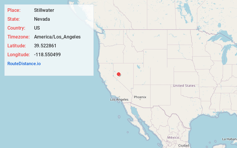
Full AddressStillwater, NV 89406
-
Coordinates39.522861, -118.550499
-
LocationStillwater , Nevada , US
-
TimezoneAmerica/Los_Angeles
-
Current Local Time4:45:32 PM America/Los_AngelesThursday, June 19, 2025
-
Page Views0
About Stillwater
Stillwater is a 19th-century ghost town of Churchill County, Nevada. Stillwater became the county seat of Churchill County in 1868, when the town was an important mail stage stop. In 1903 the seat of government moved to Fallon, Nevada.

Nearby Places
Found 10 places within 50 miles

Fallon Station
11.7 mi
18.8 km
Fallon Station, NV
Get directions

Fallon
12.5 mi
20.1 km
Fallon, NV 89406
Get directions

Mississippi Canyon
34.0 mi
54.7 km
Mississippi Canyon, Nevada
Get directions

Silver Springs
36.7 mi
59.1 km
Silver Springs, NV
Get directions

Fernley
37.8 mi
60.8 km
Fernley, NV
Get directions

Wadsworth
40.0 mi
64.4 km
Wadsworth, NV 89442
Get directions
Perth
41.9 mi
67.4 km
Perth, NV 89419
Get directions

Schurz
41.9 mi
67.4 km
Schurz, NV 89427
Get directions

Stagecoach
45.1 mi
72.6 km
Stagecoach, NV 89429
Get directions

Lovelock
45.5 mi
73.2 km
Lovelock, NV 89419
Get directions
Location Links
Local Weather
Weather Information
Coming soon!
Location Map
Static map view of Stillwater, Nevada
Browse Places by Distance
Places within specific distances from Stillwater
Short Distances
Long Distances
Click any distance to see all places within that range from Stillwater. Distances shown in miles (1 mile ≈ 1.61 kilometers).