Distance to Perth, Nevada

Calculating Your Route
Just a moment while we process your request...
Location Information
-
Full AddressPerth, NV 89419
-
Coordinates40.1287984, -118.515148
-
LocationNevada , US
-
TimezoneAmerica/Los_Angeles
-
Current Local Time7:07:40 AM America/Los_AngelesWednesday, June 18, 2025
-
Page Views0
Nearby Places
Found 8 places within 50 miles

Lovelock
4.1 mi
6.6 km
Lovelock, NV 89419
Get directions

Humboldt River Ranch
26.5 mi
42.6 km
Humboldt River Ranch, NV
Get directions
Unionville
30.2 mi
48.6 km
Unionville, NV 89418
Get directions
Mississippi Canyon
32.7 mi
52.6 km
Mississippi Canyon, Nevada
Get directions

Imlay
41.5 mi
66.8 km
Imlay, NV 89418
Get directions

Fallon
47.3 mi
76.1 km
Fallon, NV 89406
Get directions

Nixon
49.1 mi
79.0 km
Nixon, NV 89424
Get directions
Tungsten
49.4 mi
79.5 km
Tungsten, NV
Get directions
Location Links
Local Weather
Weather Information
Coming soon!
Location Map
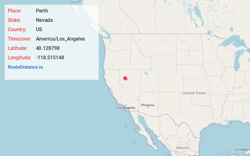
Static map view of Perth, Nevada
Browse Places by Distance
Places within specific distances from Perth
Short Distances
Long Distances
Click any distance to see all places within that range from Perth. Distances shown in miles (1 mile ≈ 1.61 kilometers).