Distance to Nixon, Nevada

Calculating Your Route
Just a moment while we process your request...
Location Information
-
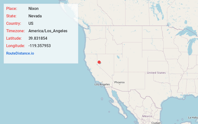
Full AddressNixon, NV 89424
-
Coordinates39.8318537, -119.3579527
-
LocationNixon , Nevada , US
-
TimezoneAmerica/Los_Angeles
-
Current Local Time6:07:23 AM America/Los_AngelesSunday, June 1, 2025
-
Page Views0
About Nixon
Nixon is a census-designated place in Washoe County, Nevada, USA. The population was 374 at the 2010 census. It is part of the Reno–Sparks Metropolitan Statistical Area. It is the seat of tribal government of the Paiute Pyramid Lake Indian Reservation and home to the tribe's Museum and Visitor Center.

Nearby Places
Found 10 places within 50 miles

Wadsworth
14.3 mi
23.0 km
Wadsworth, NV 89442
Get directions

Fernley
16.5 mi
26.6 km
Fernley, NV
Get directions

Spanish Springs
22.5 mi
36.2 km
Spanish Springs, NV
Get directions

Sun Valley
27.5 mi
44.3 km
Sun Valley, NV
Get directions

Golden Valley
28.7 mi
46.2 km
Golden Valley, NV
Get directions

Sparks
29.4 mi
47.3 km
Sparks, NV
Get directions

Silver Springs
29.6 mi
47.6 km
Silver Springs, NV
Get directions

Stagecoach
31.7 mi
51.0 km
Stagecoach, NV 89429
Get directions

Reno
32.0 mi
51.5 km
Reno, NV
Get directions

Cold Springs
34.5 mi
55.5 km
Cold Springs, NV 89508
Get directions
Location Links
Local Weather
Weather Information
Coming soon!
Location Map
Static map view of Nixon, Nevada
Browse Places by Distance
Places within specific distances from Nixon
Short Distances
Long Distances
Click any distance to see all places within that range from Nixon. Distances shown in miles (1 mile ≈ 1.61 kilometers).