Distance to Stagecoach, Nevada

Calculating Your Route
Just a moment while we process your request...
Location Information
-
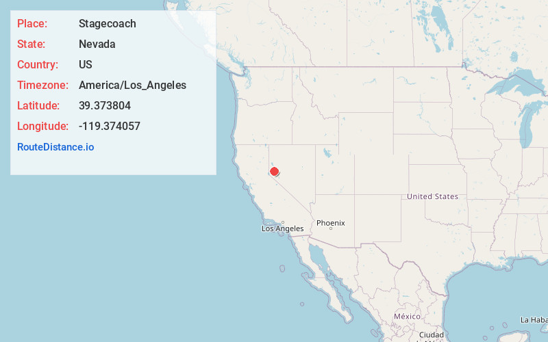
Full AddressStagecoach, NV 89429
-
Coordinates39.3738041, -119.3740567
-
LocationStagecoach , Nevada , US
-
TimezoneAmerica/Los_Angeles
-
Current Local Time12:12:04 PM America/Los_AngelesSunday, June 8, 2025
-
Page Views1
About Stagecoach
Stagecoach is an unincorporated community and census-designated place in Lyon County, Nevada, United States, located east of Reno. Its name is likely derived from its place as the Overland Stagecoach station at Desert Well.


Nearby Places
Found 10 places within 50 miles

Silver Springs
8.5 mi
13.7 km
Silver Springs, NV
Get directions

Dayton
15.0 mi
24.1 km
Dayton, NV
Get directions

Fernley
17.4 mi
28.0 km
Fernley, NV
Get directions

New Washoe City
22.1 mi
35.6 km
New Washoe City, NV 89704
Get directions

Sparks
23.1 mi
37.2 km
Sparks, NV
Get directions

Carson City
25.6 mi
41.2 km
Carson City, NV
Get directions

Reno
25.8 mi
41.5 km
Reno, NV
Get directions

Spanish Springs
26.0 mi
41.8 km
Spanish Springs, NV
Get directions

Sun Valley
26.4 mi
42.5 km
Sun Valley, NV
Get directions

Yerington
29.1 mi
46.8 km
Yerington, NV 89447
Get directions
Location Links
Local Weather
Weather Information
Coming soon!
Location Map
Static map view of Stagecoach, Nevada
Browse Places by Distance
Places within specific distances from Stagecoach
Short Distances
Long Distances
Click any distance to see all places within that range from Stagecoach. Distances shown in miles (1 mile ≈ 1.61 kilometers).