Distance to Ray, Virginia

Calculating Your Route
Just a moment while we process your request...
Location Information
-
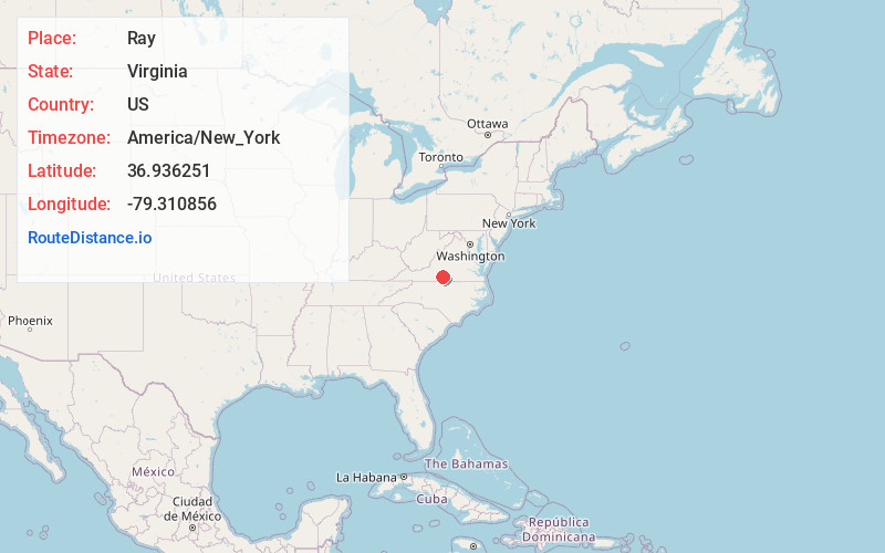
Full AddressRay, VA 24557
-
Coordinates36.9362514, -79.3108564
-
LocationVirginia , US
-
TimezoneAmerica/New_York
-
Current Local Time6:55:48 PM America/New_YorkFriday, June 20, 2025
-
Page Views0
About Ray
Ray is an unincorporated community in Pittsylvania County, in the U.S. state of Virginia.
Nearby Places
Found 10 places within 50 miles

Greenfield
1.6 mi
2.6 km
Greenfield, VA 24557
Get directions

Gretna
2.9 mi
4.7 km
Gretna, VA 24557
Get directions
Coles Hill
4.2 mi
6.8 km
Coles Hill, VA 24557
Get directions
Natal
4.2 mi
6.8 km
Natal, VA 24557
Get directions
Smothers
4.5 mi
7.2 km
Smothers, VA 24531
Get directions
Whittles
5.6 mi
9.0 km
Whittles, VA 24531
Get directions
Cedar Hill
6.0 mi
9.7 km
Cedar Hill, VA 24531
Get directions
Pickerel
6.2 mi
10.0 km
Pickerel, VA 24557
Get directions
Mt Airy
6.6 mi
10.6 km
Mt Airy, VA 24557
Get directions
Sycamore
6.6 mi
10.6 km
Sycamore, VA 24557
Get directions
Location Links
Local Weather
Weather Information
Coming soon!
Location Map
Static map view of Ray, Virginia
Browse Places by Distance
Places within specific distances from Ray
Short Distances
Long Distances
Click any distance to see all places within that range from Ray. Distances shown in miles (1 mile ≈ 1.61 kilometers).