Distance to Red Level, Florida

Calculating Your Route
Just a moment while we process your request...
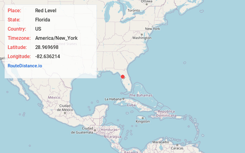
Location Information
-
Full AddressRed Level, FL 34428
-
Coordinates28.9696982, -82.6362142
-
LocationFlorida , US
-
TimezoneAmerica/New_York
-
Current Local Time5:17:31 AM America/New_YorkWednesday, June 18, 2025
-
Page Views0
About Red Level
Red Level is an unincorporated community in Citrus County, Florida, United States. The ZIP Codes are 34428, which it shares with Crystal River to the southeast, and 34449, which it shares with Inglis to the north in Levy County.
Nearby Places
Found 10 places within 50 miles

Citronelle
4.1 mi
6.6 km
Citronelle, FL 34433
Get directions

Inglis
4.6 mi
7.4 km
Inglis, FL 34449
Get directions

Crystal River
5.4 mi
8.7 km
Crystal River, FL
Get directions

Yankeetown
6.4 mi
10.3 km
Yankeetown, FL
Get directions
Port Inglis
7.7 mi
12.4 km
Port Inglis, Yankeetown, FL 34449
Get directions
Black Diamond
9.9 mi
15.9 km
Black Diamond, FL
Get directions

Pine Ridge
10.1 mi
16.3 km
Pine Ridge, FL
Get directions

Citrus Springs
10.2 mi
16.4 km
Citrus Springs, FL
Get directions

Beverly Hills
11.4 mi
18.3 km
Beverly Hills, FL 34465
Get directions

Dunnellon
11.9 mi
19.2 km
Dunnellon, FL
Get directions
Location Links
Local Weather
Weather Information
Coming soon!
Location Map
Static map view of Red Level, Florida
Browse Places by Distance
Places within specific distances from Red Level
Short Distances
Long Distances
Click any distance to see all places within that range from Red Level. Distances shown in miles (1 mile ≈ 1.61 kilometers).