Distance to Inglis, Florida

Calculating Your Route
Just a moment while we process your request...
Location Information
-
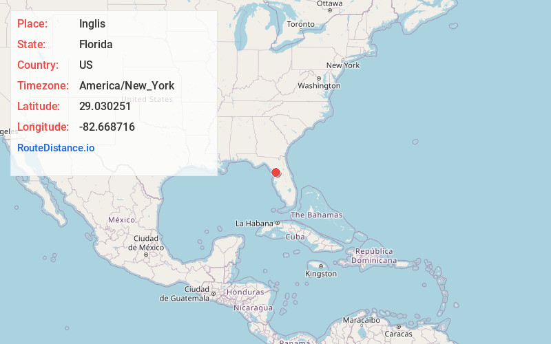
Full AddressInglis, FL 34449
-
Coordinates29.0302514, -82.6687161
-
LocationInglis , Florida , US
-
TimezoneAmerica/New_York
-
Current Local Time11:04:54 PM America/New_YorkThursday, June 19, 2025
-
Page Views0
About Inglis
Inglis is a town in Levy County, Florida, United States. It is on U.S. Highway 19 near the Cross Florida Greenway. As of the 2020 census, the town had a population of 1,476, up from 1,325 at the 2010 census. It is part of the Gainesville, Florida Metropolitan Statistical Area.


Nearby Places
Found 10 places within 50 miles

Crystal River
10.0 mi
16.1 km
Crystal River, FL
Get directions

Citrus Springs
12.2 mi
19.6 km
Citrus Springs, FL
Get directions

Dunnellon
12.6 mi
20.3 km
Dunnellon, FL
Get directions

Rainbow Lakes Estates
13.0 mi
20.9 km
Rainbow Lakes Estates, FL 34431
Get directions

Pine Ridge
13.4 mi
21.6 km
Pine Ridge, FL
Get directions

Beverly Hills
14.9 mi
24.0 km
Beverly Hills, FL 34465
Get directions

Lecanto
16.5 mi
26.6 km
Lecanto, FL
Get directions

Citrus Hills
17.3 mi
27.8 km
Citrus Hills, FL
Get directions

Homosassa
17.5 mi
28.2 km
Homosassa, FL
Get directions

Hernando
19.9 mi
32.0 km
Hernando, FL
Get directions
Location Links
Local Weather
Weather Information
Coming soon!
Location Map
Static map view of Inglis, Florida
Browse Places by Distance
Places within specific distances from Inglis
Short Distances
Long Distances
Click any distance to see all places within that range from Inglis. Distances shown in miles (1 mile ≈ 1.61 kilometers).