Distance to Redbird, Missouri

Calculating Your Route
Just a moment while we process your request...
Location Information
-
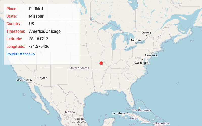
Full AddressRedbird, MO 65014
-
Coordinates38.1817119, -91.5704364
-
LocationRedbird , Missouri , US
-
TimezoneAmerica/Chicago
-
Current Local Time5:02:01 AM America/ChicagoSunday, June 29, 2025
-
Page Views0
About Redbird
Redbird is an unincorporated community in southern Gasconade County, Missouri, United States. The community lies on Price Creek, a small tributary of the Bourbeuse River and approximately one half mile southwest of the Bourbeuse.
Nearby Places
Found 10 places within 50 miles

Sewell Ford
0.6 mi
1.0 km
Sewell Ford, Bourbois Township, MO 65014
Get directions
Jake Prairie
3.5 mi
5.6 km
Jake Prairie, Oak Hill Township, MO 65066
Get directions
Royal
3.7 mi
6.0 km
Royal, Dawson Township, MO 65559
Get directions
High Gate
5.9 mi
9.5 km
High Gate, MO 65559
Get directions
Safe
7.8 mi
12.6 km
Safe, MO 65559
Get directions
Bem
8.0 mi
12.9 km
Bem, MO 65066
Get directions

Bland
9.0 mi
14.5 km
Bland, MO 65014
Get directions
Canaan
9.0 mi
14.5 km
Canaan, MO 65066
Get directions
Old Bland
9.6 mi
15.4 km
Old Bland, Clay Township, MO 65014
Get directions

Belle
10.9 mi
17.5 km
Belle, MO 65013
Get directions
Location Links
Local Weather
Weather Information
Coming soon!
Location Map
Static map view of Redbird, Missouri
Browse Places by Distance
Places within specific distances from Redbird
Short Distances
Long Distances
Click any distance to see all places within that range from Redbird. Distances shown in miles (1 mile ≈ 1.61 kilometers).