Distance to Redford, Missouri

Calculating Your Route
Just a moment while we process your request...
Location Information
-
Full AddressRedford, MO 63665
-
Coordinates37.3228928, -90.9001901
-
LocationRedford , Missouri , US
-
TimezoneAmerica/Chicago
-
Current Local Time7:51:47 AM America/ChicagoTuesday, June 3, 2025
-
Page Views0
About Redford
Redford is an unincorporated community in Reynolds County, Missouri, United States. It is located on Misssour Route O approximately eight miles south-southeast of Centerville. Ellington is six miles to the southwest. Sinking Creek flows past the southwest side of the community.
Nearby Places
Found 10 places within 50 miles

Ellington
6.8 mi
10.9 km
Ellington, MO 63638
Get directions

Centerville
8.4 mi
13.5 km
Centerville, MO 63633
Get directions

Lesterville
9.5 mi
15.3 km
Lesterville, MO 63654
Get directions

Annapolis
11.4 mi
18.3 km
Annapolis, MO 63620
Get directions

Des Arc
14.7 mi
23.7 km
Des Arc, MO
Get directions

Piedmont
16.2 mi
26.1 km
Piedmont, MO 63957
Get directions
Beal
18.0 mi
29.0 km
Beal, Eminence Township, MO 63638
Get directions

Bunker
19.3 mi
31.1 km
Bunker, MO 63629
Get directions
Leeper
20.1 mi
32.3 km
Leeper, MO 63952
Get directions
Mill Spring
21.6 mi
34.8 km
Mill Spring, MO 63952
Get directions
Location Links
Local Weather
Weather Information
Coming soon!
Location Map
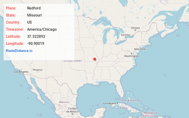
Static map view of Redford, Missouri
Browse Places by Distance
Places within specific distances from Redford
Short Distances
Long Distances
Click any distance to see all places within that range from Redford. Distances shown in miles (1 mile ≈ 1.61 kilometers).