Distance to Leeper, Missouri

Calculating Your Route
Just a moment while we process your request...
Location Information
-
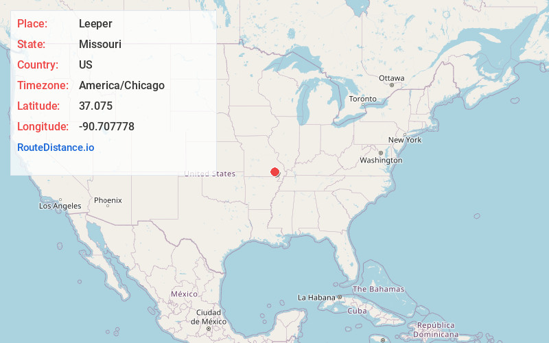
Full AddressLeeper, MO 63952
-
Coordinates37.075, -90.707778
-
LocationLeeper , Missouri , US
-
TimezoneAmerica/Chicago
-
Current Local Time12:42:36 AM America/ChicagoFriday, June 20, 2025
-
Page Views0
About Leeper
Leeper is an unincorporated community in southwestern Wayne County, Missouri, United States. It is located on the Black River, approximately five miles south of Piedmont at the intersection of Routes 34 and 49.
Nearby Places
Found 10 places within 50 miles

Mill Spring
1.6 mi
2.6 km
Mill Spring, MO 63952
Get directions

Piedmont
5.5 mi
8.9 km
Piedmont, MO 63957
Get directions

Ellsinore
10.0 mi
16.1 km
Ellsinore, MO 63937
Get directions
Williamsville
11.3 mi
18.2 km
Williamsville, MO 63901
Get directions

Greenville
14.7 mi
23.7 km
Greenville, MO 63944
Get directions

Des Arc
14.9 mi
24.0 km
Des Arc, MO
Get directions
Hunter
14.9 mi
24.0 km
Hunter, MO 63943
Get directions
Holliday Landing
15.9 mi
25.6 km
Holliday Landing, Black River Township, MO 63944
Get directions

Van Buren
17.8 mi
28.6 km
Van Buren, MO 63965
Get directions

Grandin
18.1 mi
29.1 km
Grandin, MO 63943
Get directions
Location Links
Local Weather
Weather Information
Coming soon!
Location Map
Static map view of Leeper, Missouri
Browse Places by Distance
Places within specific distances from Leeper
Short Distances
Long Distances
Click any distance to see all places within that range from Leeper. Distances shown in miles (1 mile ≈ 1.61 kilometers).