Distance to Reds Corner, Indiana

Calculating Your Route
Just a moment while we process your request...
Location Information
-
Full AddressReds Corner, IN 46143
-
Coordinates39.60111, -85.97167
-
LocationReds Corner , Indiana , US
-
TimezoneAmerica/Indianapolis
-
Page Views0
About Reds Corner
Reds Corner is an unincorporated town in Clark Township, Johnson County, Indiana.
Nearby Places
Found 10 places within 50 miles

Clark Township
1.1 mi
1.8 km
Clark Township, IN
Get directions
Rocklane
2.3 mi
3.7 km
Rocklane, Clark Township, IN 46143
Get directions
Brookfield
3.0 mi
4.8 km
Brookfield, Moral Township, IN 46259
Get directions
London Heights
3.6 mi
5.8 km
London Heights, Moral Township, IN 46126
Get directions
Sugar Creek Township
4.0 mi
6.4 km
Sugar Creek Township, IN
Get directions
Southeast Manor
4.0 mi
6.4 km
Southeast Manor, Moral Township, IN 46126
Get directions

Boggstown
4.1 mi
6.6 km
Boggstown, IN
Get directions
Moral Township
4.3 mi
6.9 km
Moral Township, IN
Get directions
Pleasant View
4.6 mi
7.4 km
Pleasant View, IN 46126
Get directions

Needham
4.9 mi
7.9 km
Needham, IN
Get directions
Location Links
Local Weather
Weather Information
Coming soon!
Location Map
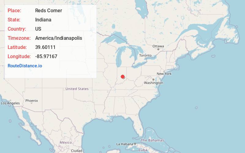
Static map view of Reds Corner, Indiana
Browse Places by Distance
Places within specific distances from Reds Corner
Short Distances
Long Distances
Click any distance to see all places within that range from Reds Corner. Distances shown in miles (1 mile ≈ 1.61 kilometers).