Distance to Reeds Crossroads, North Carolina

Calculating Your Route
Just a moment while we process your request...
Location Information
-
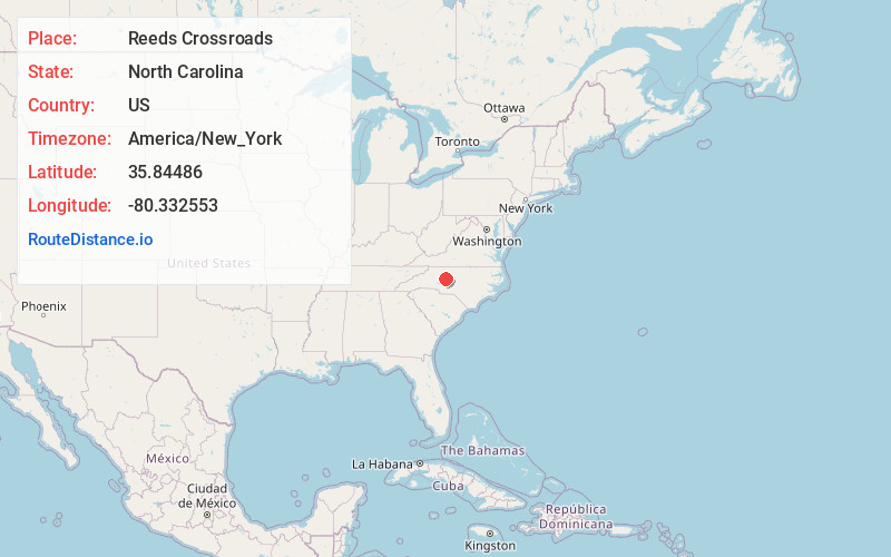
Full AddressReeds Crossroads, NC 27295
-
Coordinates35.84486, -80.332553
-
LocationReeds Crossroads , North Carolina , US
-
TimezoneAmerica/New_York
-
Current Local Time9:34:42 AM America/New_YorkTuesday, June 24, 2025
-
Page Views0
About Reeds Crossroads
Reeds is an unincorporated community in Tyro township, Davidson County, North Carolina. It is located at the intersection of Old US Highway 64 and NC Highway 150. Neighboring communities and municipalities include Churchland, Tyro, Arcadia, Yadkin College, and Lexington.
Nearby Places
Found 10 places within 50 miles

Jakesville
3.0 mi
4.8 km
Jakesville, NC 27295
Get directions
Tyro
3.4 mi
5.5 km
Tyro, NC
Get directions
Yadkin College Township
3.4 mi
5.5 km
Yadkin College Township, NC 27295
Get directions
Meadowview
3.9 mi
6.3 km
Meadowview, Lexington, NC 27292
Get directions
Erlanger
4.5 mi
7.2 km
Erlanger, Lexington, NC 27295
Get directions

Lexington
4.7 mi
7.6 km
Lexington, NC
Get directions
Petersville
4.8 mi
7.7 km
Petersville, NC 27295
Get directions

Reedy Creek
5.2 mi
8.4 km
Reedy Creek, NC 27295
Get directions

Welcome
5.8 mi
9.3 km
Welcome, NC 27295
Get directions
Churchland
6.3 mi
10.1 km
Churchland, NC 27295
Get directions
Location Links
Local Weather
Weather Information
Coming soon!
Location Map
Static map view of Reeds Crossroads, North Carolina
Browse Places by Distance
Places within specific distances from Reeds Crossroads
Short Distances
Long Distances
Click any distance to see all places within that range from Reeds Crossroads. Distances shown in miles (1 mile ≈ 1.61 kilometers).