Distance to Rehoboth, Ohio

Calculating Your Route
Just a moment while we process your request...
Location Information
-
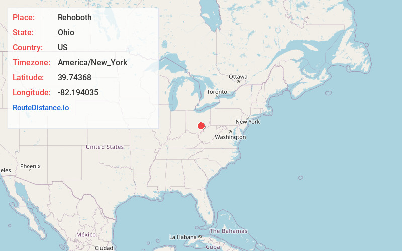
Full AddressRehoboth, Clayton Township, OH 43764
-
Coordinates39.74368, -82.1940354
-
LocationClayton Township , Ohio , US
-
TimezoneAmerica/New_York
-
Current Local Time1:14:09 AM America/New_YorkWednesday, June 25, 2025
-
Page Views0
About Rehoboth
Rehoboth is an unincorporated community in southern Clayton Township, Perry County, Ohio, United States. Rehoboth is located along State Route 345, a short distance north of the county seat of New Lexington, and its ZIP code of 43764 is New Lexington's ZIP code.
John and Eli Gardner platted Rehoboth in 1815.
Nearby Places
Found 10 places within 50 miles

New Lexington
2.2 mi
3.5 km
New Lexington, OH 43764
Get directions
Redfield
3.4 mi
5.5 km
Redfield, Clayton Township, OH 43764
Get directions
McLuney
4.9 mi
7.9 km
McLuney, OH 43731
Get directions
Milligan
5.0 mi
8.0 km
Milligan, Bearfield Township, OH 43731
Get directions
Conway Addition
5.6 mi
9.0 km
Conway Addition, Harrison Township, OH 43731
Get directions

Crooksville
5.7 mi
9.2 km
Crooksville, OH 43731
Get directions

Junction City
5.8 mi
9.3 km
Junction City, OH 43748
Get directions
Rose Farm
6.2 mi
10.0 km
Rose Farm, OH 43731
Get directions

Somerset
7.0 mi
11.3 km
Somerset, OH 43783
Get directions
Oakfield
7.2 mi
11.6 km
Oakfield, Pleasant Township, OH 43731
Get directions
Location Links
Local Weather
Weather Information
Coming soon!
Location Map
Static map view of Rehoboth, Ohio
Browse Places by Distance
Places within specific distances from Rehoboth
Short Distances
Long Distances
Click any distance to see all places within that range from Rehoboth. Distances shown in miles (1 mile ≈ 1.61 kilometers).