Distance to Relfs Bluff, Arkansas
Location Information
-
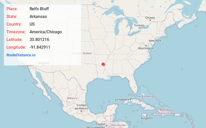
Full AddressRelfs Bluff, AR 71667
-
Coordinates33.8012155, -91.842911
-
LocationRelfs Bluff , Arkansas , US
-
TimezoneAmerica/Chicago
-
Current Local Time3:42:22 AM America/ChicagoSaturday, May 17, 2025
-
Page Views0
About Relfs Bluff
Relfs Bluff is a populated place in Lincoln County, Arkansas, United States. It is the location of the 1925-built Mt. Zion Presbyterian Church, which is listed on the National Register of Historic Places.
Nearby Places
Found 10 places within 50 miles

Plantersville
3.2 mi
5.1 km
Plantersville, AR 71655
Get directions
Rock Springs
4.7 mi
7.6 km
Rock Springs, AR 71675
Get directions
Garnett
4.8 mi
7.7 km
Garnett, AR 71667
Get directions
Little Garnett
4.8 mi
7.7 km
Little Garnett, AR 71667
Get directions
Coleman
5.7 mi
9.2 km
Coleman, AR 71655
Get directions
Tyro
7.4 mi
11.9 km
Tyro, AR 71639
Get directions
Pansy
9.3 mi
15.0 km
Pansy, AR 71665
Get directions
Barkada
9.5 mi
15.3 km
Barkada, AR 71655
Get directions
Rye
9.7 mi
15.6 km
Rye, AR
Get directions
Star City
9.8 mi
15.8 km
Star City, AR 71667
Get directions
Location Links
Local Weather
Weather Information
Coming soon!
Location Map
Static map view of Relfs Bluff, Arkansas
Browse Places by Distance
Places within specific distances from Relfs Bluff
Short Distances
Long Distances
Click any distance to see all places within that range from Relfs Bluff. Distances shown in miles (1 mile ≈ 1.61 kilometers).