Distance to Rescue, Virginia

Calculating Your Route
Just a moment while we process your request...
Location Information
-
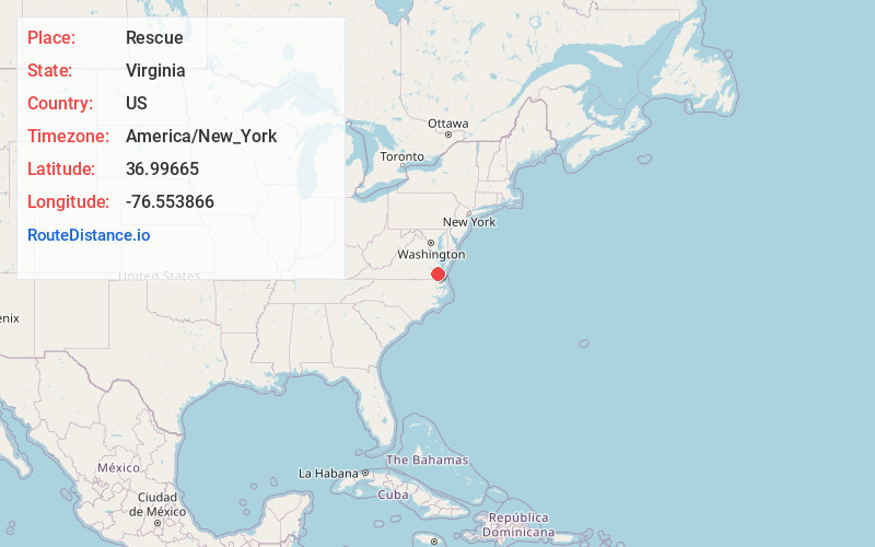
Full AddressRescue, VA 23314
-
Coordinates36.9966497, -76.5538662
-
LocationRescue , Virginia , US
-
TimezoneAmerica/New_York
-
Current Local Time7:15:18 AM America/New_YorkFriday, June 20, 2025
-
Page Views0
About Rescue
Rescue is an unincorporated community in Isle of Wight County, Virginia, United States. Rescue is located on Jones Creek near its confluence into the James River, 4 miles east-northeast of Smithfield. Rescue has a post office with ZIP code 23424, which opened on October 21, 1889.


Nearby Places
Found 10 places within 50 miles

Carrollton
3.5 mi
5.6 km
Carrollton, VA 23314
Get directions
Barlett
4.0 mi
6.4 km
Barlett, Carrollton, VA 23314
Get directions
Lawson
4.3 mi
6.9 km
Lawson, VA 23430
Get directions

Smithfield
4.4 mi
7.1 km
Smithfield, VA 23430
Get directions
Benns Church
4.5 mi
7.2 km
Benns Church, VA
Get directions

Newport News
7.7 mi
12.4 km
Newport News, VA
Get directions
Longview
8.0 mi
12.9 km
Longview, VA 23430
Get directions
Septa
8.0 mi
12.9 km
Septa, VA 23430
Get directions
Rushmere
8.3 mi
13.4 km
Rushmere, VA 23430
Get directions
Baileys Beach
8.5 mi
13.7 km
Baileys Beach, VA 23430
Get directions
Location Links
Local Weather
Weather Information
Coming soon!
Location Map
Static map view of Rescue, Virginia
Browse Places by Distance
Places within specific distances from Rescue
Short Distances
Long Distances
Click any distance to see all places within that range from Rescue. Distances shown in miles (1 mile ≈ 1.61 kilometers).