Distance to Retta, Arkansas

Calculating Your Route
Just a moment while we process your request...
Location Information
-
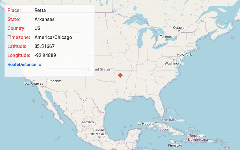
Full AddressRetta, AR 72843
-
Coordinates35.51667, -92.94889
-
LocationRetta , Arkansas , US
-
TimezoneAmerica/Chicago
-
Current Local Time5:23:36 AM America/ChicagoFriday, June 20, 2025
-
Page Views0
About Retta
Retta is an unincorporated community in Jackson Township, Pope County, Arkansas, United States. It is a populated place located within the Township of Jackson, a minor civil division of Pope County. The elevation of Retta is 679 feet.
Nearby Places
Found 10 places within 50 miles

Hector
3.7 mi
6.0 km
Hector, AR 72843
Get directions

Solo
4.9 mi
7.9 km
Solo, AR 72843
Get directions
Welcome
5.3 mi
8.5 km
Welcome, AR 72843
Get directions
Tag
5.3 mi
8.5 km
Tag, AR 72837
Get directions
Scottsville
7.2 mi
11.6 km
Scottsville, AR 72843
Get directions
Stumptoe
7.6 mi
12.2 km
Stumptoe, AR 72080
Get directions
Appleton
7.6 mi
12.2 km
Appleton, AR
Get directions
Simpson
9.1 mi
14.6 km
Simpson, AR 72837
Get directions
Smyrna
9.4 mi
15.1 km
Smyrna, AR 72843
Get directions

Nogo
9.4 mi
15.1 km
Nogo, AR 72843
Get directions
Location Links
Local Weather
Weather Information
Coming soon!
Location Map
Static map view of Retta, Arkansas
Browse Places by Distance
Places within specific distances from Retta
Short Distances
Long Distances
Click any distance to see all places within that range from Retta. Distances shown in miles (1 mile ≈ 1.61 kilometers).