Distance to Tag, Arkansas

Calculating Your Route
Just a moment while we process your request...
Location Information
-
Full AddressTag, AR 72837
-
Coordinates35.53139, -93.04139
-
LocationTag , Arkansas , US
-
TimezoneAmerica/Chicago
-
Current Local Time2:19:45 PM America/ChicagoWednesday, June 18, 2025
-
Page Views0
About Tag
Tag is an unincorporated community in the Ozark National Forest, Pope County, Arkansas, United States.
Nearby Places
Found 10 places within 50 miles

Hector
5.8 mi
9.3 km
Hector, AR 72843
Get directions

Dover
9.8 mi
15.8 km
Dover, AR
Get directions

Appleton
11.9 mi
19.2 km
Appleton, AR
Get directions

Jerusalem
15.4 mi
24.8 km
Jerusalem, AR 72080
Get directions

Hagarville
16.0 mi
25.7 km
Hagarville, AR
Get directions

Russellville
18.3 mi
29.5 km
Russellville, AR
Get directions

London
18.3 mi
29.5 km
London, AR
Get directions
Witts Springs
19.1 mi
30.7 km
Witts Springs, AR 72686
Get directions

Pottsville
19.2 mi
30.9 km
Pottsville, AR
Get directions
Worthen
19.9 mi
32.0 km
Worthen, AR 72823
Get directions
Location Links
Local Weather
Weather Information
Coming soon!
Location Map
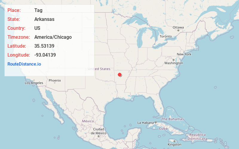
Static map view of Tag, Arkansas
Browse Places by Distance
Places within specific distances from Tag
Short Distances
Long Distances
Click any distance to see all places within that range from Tag. Distances shown in miles (1 mile ≈ 1.61 kilometers).