Distance to Reynolds, Idaho

Calculating Your Route
Just a moment while we process your request...
Location Information
-
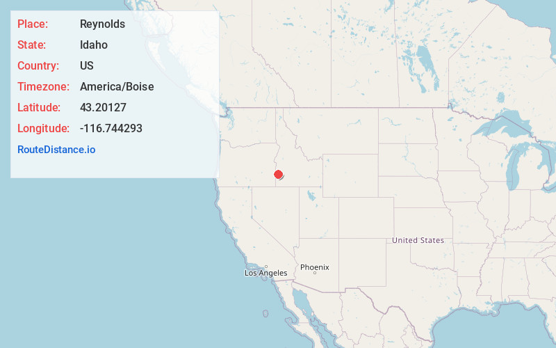
Full AddressReynolds, ID 83650
-
Coordinates43.20127, -116.7442934
-
LocationReynolds , Idaho , US
-
TimezoneAmerica/Boise
-
Current Local Time12:52:23 PM America/BoiseFriday, June 6, 2025
-
Page Views0
About Reynolds
Reynolds is an unincorporated community in Owyhee County, Idaho, United States. Reynolds is 9.8 miles west of Murphy.
The Camp Lyon Site, which is listed on the National Register of Historic Places, is located near Reynolds.
Nearby Places
Found 10 places within 50 miles

Murphy
9.8 mi
15.8 km
Murphy, ID 83650
Get directions
De Lamar
13.0 mi
20.9 km
De Lamar, ID 97910
Get directions

Melba
16.2 mi
26.1 km
Melba, ID 83641
Get directions

Sheaville
16.3 mi
26.2 km
Sheaville, OR 97910
Get directions
Oreana
20.4 mi
32.8 km
Oreana, ID 83650
Get directions

Jordan Valley
22.2 mi
35.7 km
Jordan Valley, OR 97910
Get directions

Marsing
24.0 mi
38.6 km
Marsing, ID 83639
Get directions

Kuna
25.9 mi
41.7 km
Kuna, ID
Get directions

Nampa
27.7 mi
44.6 km
Nampa, ID
Get directions
Huston
28.3 mi
45.5 km
Huston, ID 83607
Get directions
Location Links
Local Weather
Weather Information
Coming soon!
Location Map
Static map view of Reynolds, Idaho
Browse Places by Distance
Places within specific distances from Reynolds
Short Distances
Long Distances
Click any distance to see all places within that range from Reynolds. Distances shown in miles (1 mile ≈ 1.61 kilometers).