Distance to Rhodelia, Kentucky

Calculating Your Route
Just a moment while we process your request...
Location Information
-
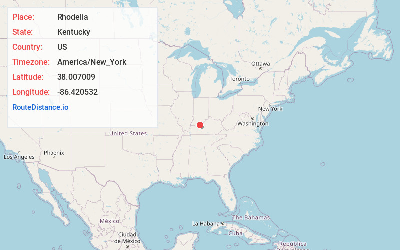
Full AddressRhodelia, KY 40161
-
Coordinates38.0070092, -86.420532
-
LocationRhodelia , Kentucky , US
-
TimezoneAmerica/New_York
-
Current Local Time12:43:21 AM America/New_YorkWednesday, June 4, 2025
-
Page Views0
About Rhodelia
Rhodelia is a rural unincorporated community in Meade County, Kentucky, United States. It is a small community that lies a few miles west of Brandenburg on Kentucky Route 144 near its intersection with Rhodes Road and south of Route 144's intersection with Kentucky Route 259.
Nearby Places
Found 10 places within 50 miles

Andyville
3.2 mi
5.1 km
Andyville, KY 40161
Get directions
Frymire
3.5 mi
5.6 km
Frymire, KY 40176
Get directions

Union Star
5.0 mi
8.0 km
Union Star, KY 40170
Get directions
Chenaultt
5.3 mi
8.5 km
Chenaultt, KY 40170
Get directions
Raymond
5.6 mi
9.0 km
Raymond, KY 40176
Get directions
Payneville
6.0 mi
9.7 km
Payneville, KY 40157
Get directions

Derby
6.0 mi
9.7 km
Derby, IN 47525
Get directions
Magnet
6.6 mi
10.6 km
Magnet, IN 47520
Get directions
Wolf Creek
6.8 mi
10.9 km
Wolf Creek, KY 40104
Get directions
Lodiburg
7.1 mi
11.4 km
Lodiburg, KY 40176
Get directions
Location Links
Local Weather
Weather Information
Coming soon!
Location Map
Static map view of Rhodelia, Kentucky
Browse Places by Distance
Places within specific distances from Rhodelia
Short Distances
Long Distances
Click any distance to see all places within that range from Rhodelia. Distances shown in miles (1 mile ≈ 1.61 kilometers).