Distance to Rice, Washington

Calculating Your Route
Just a moment while we process your request...
Location Information
-
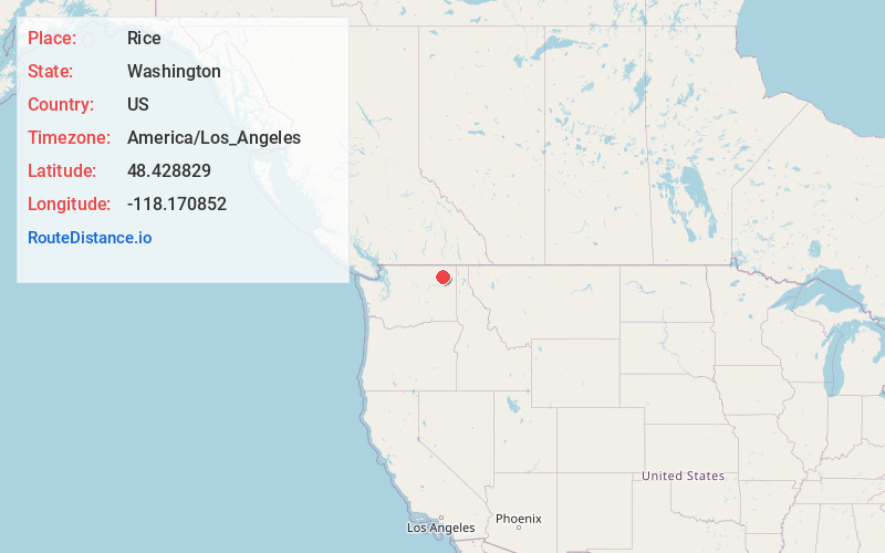
Full AddressRice, WA 99167
-
Coordinates48.4288285, -118.1708516
-
LocationRice , Washington , US
-
TimezoneAmerica/Los_Angeles
-
Current Local Time1:23:13 AM America/Los_AngelesThursday, June 26, 2025
-
Page Views0
About Rice
Rice is an unincorporated community in Stevens County, Washington, United States. Rice is located along the Columbia River at Washington State Route 25 and Orin-Rice Road 13.5 miles south-southwest of Kettle Falls. The Rice ZIP code is 99167.

Nearby Places
Found 10 places within 50 miles

Daisy
4.7 mi
7.6 km
Daisy, WA 99167
Get directions
Maud
8.0 mi
12.9 km
Maud, WA 99167
Get directions
Gifford
8.5 mi
13.7 km
Gifford, WA 99131
Get directions

Inchelium
9.2 mi
14.8 km
Inchelium, WA 99138
Get directions
Impach
10.2 mi
16.4 km
Impach, WA 99138
Get directions
Meteor
12.4 mi
20.0 km
Meteor, WA 99138
Get directions

Kettle Falls
13.6 mi
21.9 km
Kettle Falls, WA 99141
Get directions
Harter
14.2 mi
22.9 km
Harter, WA 99141
Get directions

Colville
14.7 mi
23.7 km
Colville, WA 99114
Get directions
Addy
16.1 mi
25.9 km
Addy, WA 99101
Get directions
Location Links
Local Weather
Weather Information
Coming soon!
Location Map
Static map view of Rice, Washington
Browse Places by Distance
Places within specific distances from Rice
Short Distances
Long Distances
Click any distance to see all places within that range from Rice. Distances shown in miles (1 mile ≈ 1.61 kilometers).