Distance to Riceland, Ohio

Calculating Your Route
Just a moment while we process your request...
Location Information
-
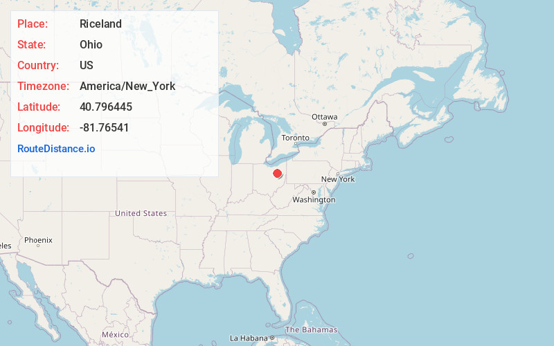
Full AddressRiceland, OH 44667
-
Coordinates40.7964445, -81.7654103
-
LocationRiceland , Ohio , US
-
TimezoneAmerica/New_York
-
Current Local Time10:16:14 AM America/New_YorkSunday, June 1, 2025
-
Page Views0


Nearby Places
Found 10 places within 50 miles

East Union
2.7 mi
4.3 km
East Union, OH 44667
Get directions

Orrville
3.3 mi
5.3 km
Orrville, OH 44667
Get directions

Dalton
3.7 mi
6.0 km
Dalton, OH 44618
Get directions

Kidron
4.0 mi
6.4 km
Kidron, OH
Get directions

Apple Creek
4.9 mi
7.9 km
Apple Creek, OH 44606
Get directions
Snively
5.7 mi
9.2 km
Snively, Sugar Creek Township, OH 44618
Get directions

Smithville
6.8 mi
10.9 km
Smithville, OH 44677
Get directions
Guerne
7.2 mi
11.6 km
Guerne, Franklin Township, OH 44691
Get directions

Marshallville
7.5 mi
12.1 km
Marshallville, OH 44645
Get directions
Mt Eaton
7.8 mi
12.6 km
Mt Eaton, OH
Get directions
Location Links
Local Weather
Weather Information
Coming soon!
Location Map
Static map view of Riceland, Ohio
Browse Places by Distance
Places within specific distances from Riceland
Short Distances
Long Distances
Click any distance to see all places within that range from Riceland. Distances shown in miles (1 mile ≈ 1.61 kilometers).