Distance to Ringgold, Virginia

Calculating Your Route
Just a moment while we process your request...
Location Information
-
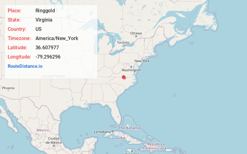
Full AddressRinggold, VA 24586
-
Coordinates36.6079774, -79.2962964
-
LocationRinggold , Virginia , US
-
TimezoneAmerica/New_York
-
Current Local Time12:29:22 PM America/New_YorkSaturday, June 21, 2025
-
Page Views0
About Ringgold
Ringgold is an unincorporated community in Pittsylvania County in the U.S. state of Virginia with a postal zip code 24586. The local high school is Dan River High School.
The community was named after Maj. Samuel Ringgold, a hero of the Battle of Palo Alto in the U.S.-Mexican War.

Nearby Places
Found 10 places within 50 miles

Sutherlin
5.6 mi
9.0 km
Sutherlin, VA 24594
Get directions

Danville
5.7 mi
9.2 km
Danville, VA
Get directions
Wallace Mill
6.0 mi
9.7 km
Wallace Mill, NC 27315
Get directions

Blairs
6.5 mi
10.5 km
Blairs, VA
Get directions

Milton
6.8 mi
10.9 km
Milton, NC 27305
Get directions

Blanch
6.9 mi
11.1 km
Blanch, NC 27212
Get directions
Pleasant Grove
7.0 mi
11.3 km
Pleasant Grove, Danville, VA 24541
Get directions
Witt
7.6 mi
12.2 km
Witt, VA 24540
Get directions
Estelle
7.9 mi
12.7 km
Estelle, NC 27305
Get directions
Providence
8.2 mi
13.2 km
Providence, NC 27315
Get directions
Location Links
Local Weather
Weather Information
Coming soon!
Location Map
Static map view of Ringgold, Virginia
Browse Places by Distance
Places within specific distances from Ringgold
Short Distances
Long Distances
Click any distance to see all places within that range from Ringgold. Distances shown in miles (1 mile ≈ 1.61 kilometers).