Distance to River Bend, Missouri

Calculating Your Route
Just a moment while we process your request...
Location Information
-
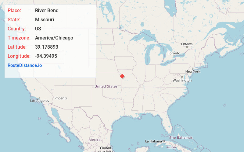
Full AddressRiver Bend, MO
-
Coordinates39.1788927, -94.3949504
-
LocationRiver Bend , Missouri , US
-
TimezoneAmerica/Chicago
-
Current Local Time12:53:31 AM America/ChicagoThursday, June 19, 2025
-
Page Views0
About River Bend
River Bend is a village in Jackson County, Missouri, United States. The population was 3 at the 2020 census. It is the only part of Jackson County that lies north of the Missouri River. In 1951, the Missouri River was relocated to a new channel, creating River Bend. The county line still follows the original riverbed.

Nearby Places
Found 10 places within 50 miles

Birmingham
3.2 mi
5.1 km
Birmingham, MO 64161
Get directions
Glenaire
4.2 mi
6.8 km
Glenaire, MO 64068
Get directions

Liberty
4.8 mi
7.7 km
Liberty, MO
Get directions
Pleasant Valley
5.2 mi
8.4 km
Pleasant Valley, MO
Get directions
Claycomo
5.4 mi
8.7 km
Claycomo, MO
Get directions

Sugar Creek
5.5 mi
8.9 km
Sugar Creek, MO
Get directions

Randolph
5.6 mi
9.0 km
Randolph, MO
Get directions

Independence
6.2 mi
10.0 km
Independence, MO
Get directions

Missouri City
7.1 mi
11.4 km
Missouri City, MO
Get directions

Blue Summit
7.8 mi
12.6 km
Blue Summit, MO 64126
Get directions
Location Links
Local Weather
Weather Information
Coming soon!
Location Map
Static map view of River Bend, Missouri
Browse Places by Distance
Places within specific distances from River Bend
Short Distances
Long Distances
Click any distance to see all places within that range from River Bend. Distances shown in miles (1 mile ≈ 1.61 kilometers).