Distance to River Rouge, Michigan

Calculating Your Route
Just a moment while we process your request...
Location Information
-
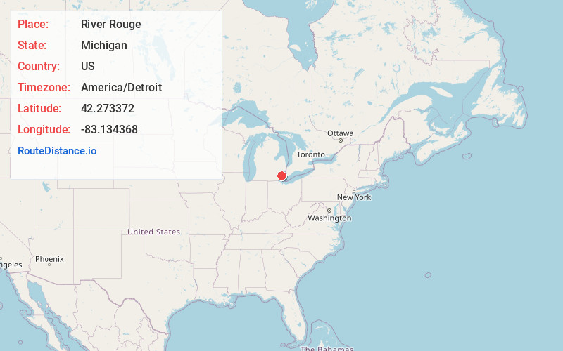
Full AddressRiver Rouge, MI
-
Coordinates42.2733718, -83.1343677
-
LocationRiver Rouge , Michigan , US
-
TimezoneAmerica/Detroit
-
Current Local Time8:35:40 AM America/DetroitTuesday, June 3, 2025
-
Website
-
Page Views0
About River Rouge
River Rouge is a city in Wayne County in the U.S. state of Michigan. The population was 7,224 at the 2020 census.
The city is named after the River Rouge, which flows along the city's northern border and into the Detroit River.


Nearby Places
Found 10 places within 50 miles

Ecorse
2.1 mi
3.4 km
Ecorse, MI
Get directions

Melvindale
2.2 mi
3.5 km
Melvindale, MI 48122
Get directions

Lincoln Park
2.8 mi
4.5 km
Lincoln Park, MI 48146
Get directions

Dearborn
4.0 mi
6.4 km
Dearborn, MI
Get directions

Allen Park
4.1 mi
6.6 km
Allen Park, MI 48101
Get directions

Wyandotte
4.2 mi
6.8 km
Wyandotte, MI
Get directions

Southgate
5.1 mi
8.2 km
Southgate, MI
Get directions

Detroit
6.1 mi
9.8 km
Detroit, MI
Get directions

Riverview
7.2 mi
11.6 km
Riverview, MI
Get directions

Taylor
7.3 mi
11.7 km
Taylor, MI 48180
Get directions
Location Links
Local Weather
Weather Information
Coming soon!
Location Map
Static map view of River Rouge, Michigan
Browse Places by Distance
Places within specific distances from River Rouge
Short Distances
Long Distances
Click any distance to see all places within that range from River Rouge. Distances shown in miles (1 mile ≈ 1.61 kilometers).