Distance to Riverdale, Kansas

Calculating Your Route
Just a moment while we process your request...
Location Information
-
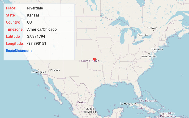
Full AddressRiverdale, KS 67152
-
Coordinates37.3717943, -97.390151
-
LocationRiverdale , Kansas , US
-
TimezoneAmerica/Chicago
-
Current Local Time1:08:48 PM America/ChicagoTuesday, June 10, 2025
-
Page Views0
About Riverdale
Riverdale is an unincorporated community in Sumner County, Kansas, United States. It is located approximately six miles southwest of Belle Plaine at the intersection of N Sand Plum Rd and 77th Ave N, or west of U.S. Route 81, adjacent to the railroad.
Nearby Places
Found 10 places within 50 miles

Cicero
3.8 mi
6.1 km
Cicero, KS 67152
Get directions
Zyba
4.3 mi
6.9 km
Zyba, London Township, KS 67120
Get directions

Belle Plaine
6.2 mi
10.0 km
Belle Plaine, KS 67013
Get directions
Peck
7.4 mi
11.9 km
Peck, KS 67120
Get directions

Wellington
7.4 mi
11.9 km
Wellington, KS
Get directions
Anson
7.7 mi
12.4 km
Anson, KS 67103
Get directions
Roland
8.2 mi
13.2 km
Roland, Wellington Township, KS 67152
Get directions
Dalton
9.6 mi
15.4 km
Dalton, Avon Township, KS 67152
Get directions
Millerton
10.2 mi
16.4 km
Millerton, Illinois Township, KS 67031
Get directions

Mulvane
10.7 mi
17.2 km
Mulvane, KS
Get directions
Location Links
Local Weather
Weather Information
Coming soon!
Location Map
Static map view of Riverdale, Kansas
Browse Places by Distance
Places within specific distances from Riverdale
Short Distances
Long Distances
Click any distance to see all places within that range from Riverdale. Distances shown in miles (1 mile ≈ 1.61 kilometers).