Distance to Rivergrove, Oregon

Calculating Your Route
Just a moment while we process your request...
Location Information
-
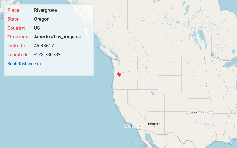
Full AddressRivergrove, OR
-
Coordinates45.3861703, -122.7307388
-
LocationRivergrove , Oregon , US
-
TimezoneAmerica/Los_Angeles
-
Current Local Time9:00:39 AM America/Los_AngelesFriday, June 20, 2025
-
Page Views0
About Rivergrove
Rivergrove is a city in Clackamas County, Oregon, United States. A small portion of the city extends into nearby Washington County. Its name is a portmanteau of the Tualatin River, which forms its southern border, and Lake Grove, a community that is now part of Lake Oswego.
Nearby Places
Found 10 places within 50 miles

Durham
1.3 mi
2.1 km
Durham, OR 97224
Get directions

Stafford
1.6 mi
2.6 km
Stafford, OR
Get directions

Tualatin
1.7 mi
2.7 km
Tualatin, OR
Get directions

Tigard
3.6 mi
5.8 km
Tigard, OR
Get directions

Lake Oswego
4.0 mi
6.4 km
Lake Oswego, OR
Get directions

Oak Grove
4.9 mi
7.9 km
Oak Grove, OR
Get directions

Dunthorpe
5.0 mi
8.0 km
Dunthorpe, OR
Get directions

West Linn
5.1 mi
8.2 km
West Linn, OR
Get directions

Sherwood
5.7 mi
9.2 km
Sherwood, OR
Get directions
Jennings Lodge
5.7 mi
9.2 km
Jennings Lodge, OR
Get directions
Location Links
Local Weather
Weather Information
Coming soon!
Location Map
Static map view of Rivergrove, Oregon
Browse Places by Distance
Places within specific distances from Rivergrove
Short Distances
Long Distances
Click any distance to see all places within that range from Rivergrove. Distances shown in miles (1 mile ≈ 1.61 kilometers).