Distance to Riverside, Massachusetts

Calculating Your Route
Just a moment while we process your request...
Location Information
-
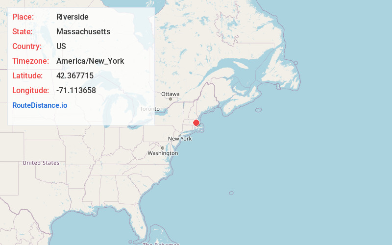
Full AddressRiverside, Cambridge, MA
-
Coordinates42.3677154, -71.1136576
-
NeighborhoodRiverside
-
LocationCambridge , Massachusetts , US
-
TimezoneAmerica/New_York
-
Current Local Time6:36:19 PM America/New_YorkMonday, June 23, 2025
-
Page Views0
About Riverside
Riverside, also known as "Area 7", is a neighborhood of Cambridge, Massachusetts bounded by Massachusetts Avenue on the east, River Street on the south, the Charles River on the west, and JFK Street on the north.


Nearby Places
Found 10 places within 50 miles

Cambridge
0.4 mi
0.6 km
Cambridge, MA
Get directions

Somerville
1.6 mi
2.6 km
Somerville, MA
Get directions

Washington Square
2.3 mi
3.7 km
Washington Square, Brookline, MA
Get directions

Brookline
2.5 mi
4.0 km
Brookline, MA
Get directions

Beaconsfield
2.6 mi
4.2 km
Beaconsfield, Brookline, MA 02445
Get directions
Payson Park Reservoir
3.0 mi
4.8 km
Payson Park Reservoir, Belmont, MA 02478
Get directions

Boston
3.0 mi
4.8 km
Boston, MA
Get directions

Medford
3.5 mi
5.6 km
Medford, MA
Get directions

Watertown
3.5 mi
5.6 km
Watertown, MA
Get directions

Belmont
3.8 mi
6.1 km
Belmont, MA
Get directions
Location Links
Local Weather
Weather Information
Coming soon!
Location Map
Static map view of Riverside, Massachusetts
Browse Places by Distance
Places within specific distances from Riverside
Short Distances
Long Distances
Click any distance to see all places within that range from Riverside. Distances shown in miles (1 mile ≈ 1.61 kilometers).