Distance to Roach, Missouri

Calculating Your Route
Just a moment while we process your request...
Location Information
-
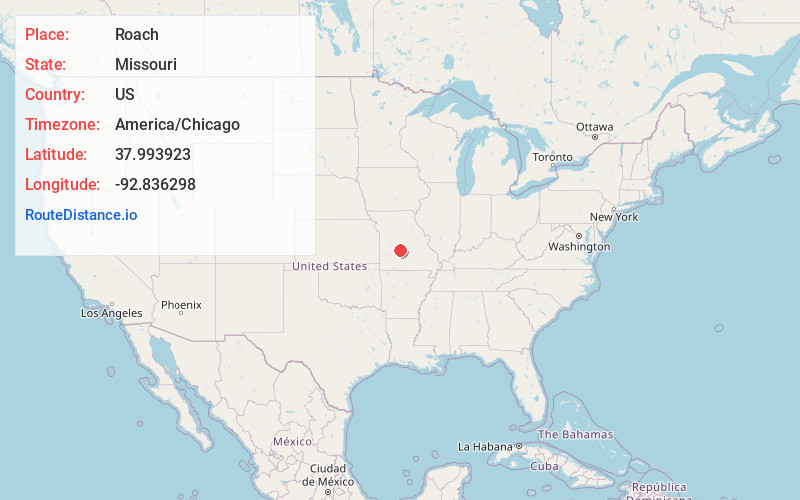
Full AddressRoach, MO 65787
-
Coordinates37.9939231, -92.8362978
-
LocationRoach , Missouri , US
-
TimezoneAmerica/Chicago
-
Current Local Time12:08:37 AM America/ChicagoWednesday, June 25, 2025
-
Page Views0
About Roach
Roach is an unincorporated community in southern Camden County, Missouri, United States. It is located north of U.S. Route 54 on Missouri Route AA, approximately five miles west of Camdenton and 2.5 miles west of the Niangua River arm of the Lake of the Ozarks. The ZIP Code for Roach is 65787.

Nearby Places
Found 10 places within 50 miles

Neongwah
3.6 mi
5.8 km
Neongwah, MO 65020
Get directions
Hahatonka
3.9 mi
6.3 km
Hahatonka, Warren Township, MO 65020
Get directions
White City
4.0 mi
6.4 km
White City, MO 65020
Get directions

Camdenton
5.1 mi
8.2 km
Camdenton, MO 65020
Get directions
Friedenswald
6.8 mi
10.9 km
Friedenswald, MO 65020
Get directions

Linn Creek
7.4 mi
11.9 km
Linn Creek, MO 65052
Get directions

Macks Creek
7.5 mi
12.1 km
Macks Creek, MO 65786
Get directions
Old Linn Creek
7.7 mi
12.4 km
Old Linn Creek, Osage Township, MO 65052
Get directions
Green Bay Terrace
7.9 mi
12.7 km
Green Bay Terrace, MO 65079
Get directions
Ira
8.4 mi
13.5 km
Ira, MO 65463
Get directions
Location Links
Local Weather
Weather Information
Coming soon!
Location Map
Static map view of Roach, Missouri
Browse Places by Distance
Places within specific distances from Roach
Short Distances
Long Distances
Click any distance to see all places within that range from Roach. Distances shown in miles (1 mile ≈ 1.61 kilometers).