Distance to Roaring Springs, Texas

Calculating Your Route
Just a moment while we process your request...
Location Information
-
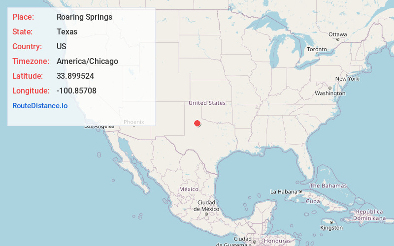
Full AddressRoaring Springs, TX 79256
-
Coordinates33.8995237, -100.85708
-
LocationRoaring Springs , Texas , US
-
TimezoneAmerica/Chicago
-
Current Local Time9:08:45 AM America/ChicagoSunday, June 8, 2025
-
Page Views0
About Roaring Springs
Roaring Springs is a town in Motley County, Texas, United States. The population was 217 at the 2020 census.
Roaring Springs was originally an Indian campground. At the time of the recapture of Cynthia Ann Parker in Foard County, Roaring Springs was the main Comanche outpost. It was known for the purity of its water.


Nearby Places
Found 10 places within 50 miles

Matador
8.0 mi
12.9 km
Matador, TX 79244
Get directions

Dickens
19.2 mi
30.9 km
Dickens, TX 79229
Get directions

Crosbyton
27.4 mi
44.1 km
Crosbyton, TX 79322
Get directions

Floydada
28.2 mi
45.4 km
Floydada, TX 79235
Get directions

Spur
29.2 mi
47.0 km
Spur, TX 79370
Get directions

Paducah
32.8 mi
52.8 km
Paducah, TX 79248
Get directions

Ralls
33.9 mi
54.6 km
Ralls, TX 79357
Get directions

Turkey
34.1 mi
54.9 km
Turkey, TX 79261
Get directions

Quitaque
34.2 mi
55.0 km
Quitaque, TX 79255
Get directions

Lockney
36.9 mi
59.4 km
Lockney, TX 79241
Get directions
Location Links
Local Weather
Weather Information
Coming soon!
Location Map
Static map view of Roaring Springs, Texas
Browse Places by Distance
Places within specific distances from Roaring Springs
Short Distances
Long Distances
Click any distance to see all places within that range from Roaring Springs. Distances shown in miles (1 mile ≈ 1.61 kilometers).