Distance to Robbins, Tennessee

Calculating Your Route
Just a moment while we process your request...
Location Information
-
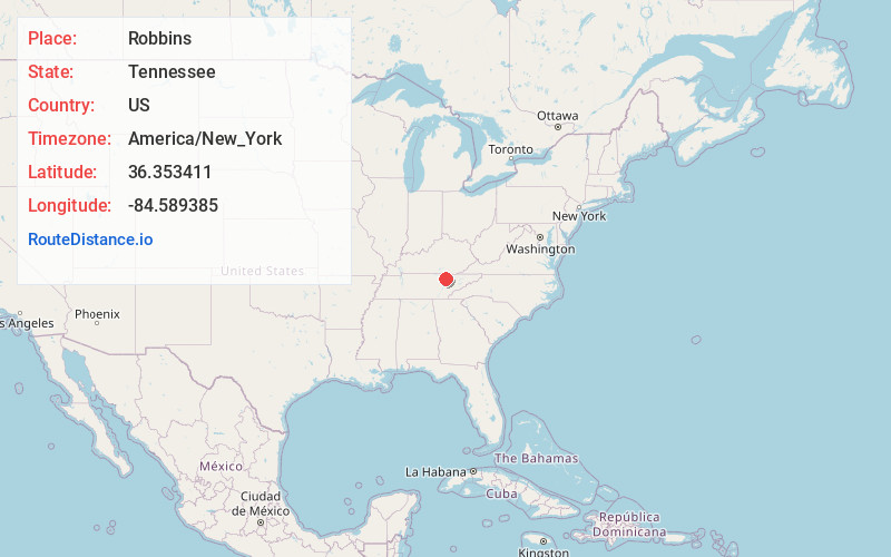
Full AddressRobbins, TN 37852
-
Coordinates36.3534105, -84.5893849
-
LocationRobbins , Tennessee , US
-
TimezoneAmerica/New_York
-
Current Local Time4:57:58 PM America/New_YorkSaturday, May 31, 2025
-
Page Views0
About Robbins
Robbins is an unincorporated community and census-designated place in Scott County, Tennessee. As of the 2010 census, its population is 287. It is concentrated along U.S. Route 27 between Huntsville and Elgin, in Tennessee's Cumberland Plateau region. The community is served by Robbins Elementary School.


Nearby Places
Found 10 places within 50 miles

Elgin
1.7 mi
2.7 km
Elgin, TN
Get directions

Helenwood
5.8 mi
9.3 km
Helenwood, TN 37755
Get directions

Huntsville
6.7 mi
10.8 km
Huntsville, TN
Get directions

Sunbright
8.9 mi
14.3 km
Sunbright, TN 37872
Get directions
Oneida
10.9 mi
17.5 km
Oneida, TN 37841
Get directions

Winfield
16.0 mi
25.7 km
Winfield, TN
Get directions

Allardt
16.5 mi
26.6 km
Allardt, TN
Get directions

Wartburg
17.2 mi
27.7 km
Wartburg, TN 37887
Get directions

Petros
19.6 mi
31.5 km
Petros, TN
Get directions

Jamestown
19.7 mi
31.7 km
Jamestown, TN 38556
Get directions
Location Links
Local Weather
Weather Information
Coming soon!
Location Map
Static map view of Robbins, Tennessee
Browse Places by Distance
Places within specific distances from Robbins
Short Distances
Long Distances
Click any distance to see all places within that range from Robbins. Distances shown in miles (1 mile ≈ 1.61 kilometers).