Distance to Roberts, Alabama

Calculating Your Route
Just a moment while we process your request...
Location Information
-
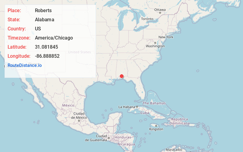
Full AddressRoberts, AL 36420
-
Coordinates31.0818451, -86.8888522
-
LocationAlabama , US
-
TimezoneAmerica/Chicago
-
Current Local Time12:27:19 AM America/ChicagoMonday, June 30, 2025
-
Page Views0
Nearby Places
Found 10 places within 50 miles

Riverview
10.2 mi
16.4 km
Riverview, AL 36426
Get directions

East Brewton
10.3 mi
16.6 km
East Brewton, AL 36426
Get directions

Brewton
11.0 mi
17.7 km
Brewton, AL 36426
Get directions
Dixonville
11.2 mi
18.0 km
Dixonville, AL 32565
Get directions

Castleberry
17.0 mi
27.4 km
Castleberry, AL 36432
Get directions

Pollard
17.3 mi
27.8 km
Pollard, AL 36441
Get directions

Jay
17.9 mi
28.8 km
Jay, FL 32565
Get directions

Flomaton
22.7 mi
36.5 km
Flomaton, AL 36441
Get directions

Century
23.4 mi
37.7 km
Century, FL 32535
Get directions
Allentown
23.9 mi
38.5 km
Allentown, FL
Get directions
Location Links
Local Weather
Weather Information
Coming soon!
Location Map
Static map view of Roberts, Alabama
Browse Places by Distance
Places within specific distances from Roberts
Short Distances
Long Distances
Click any distance to see all places within that range from Roberts. Distances shown in miles (1 mile ≈ 1.61 kilometers).