Distance to Brewton, Alabama

Calculating Your Route
Just a moment while we process your request...
Location Information
-
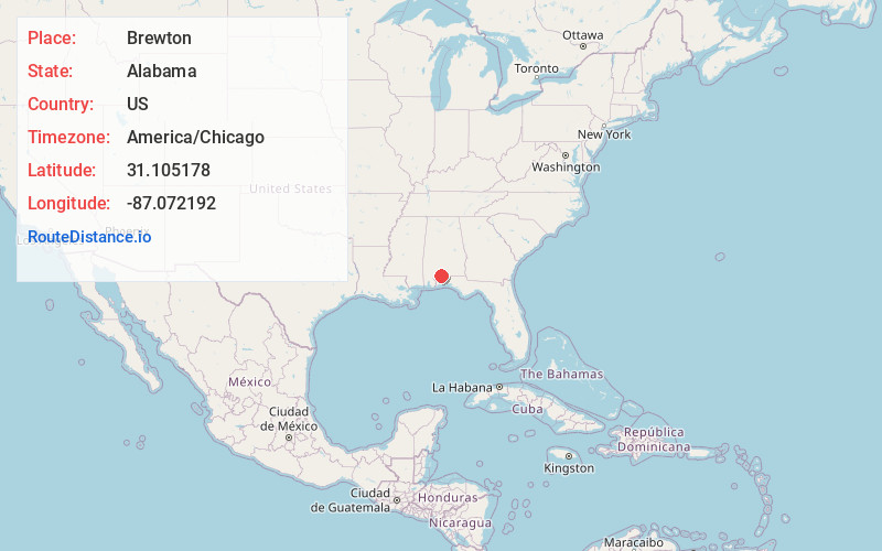
Full AddressBrewton, AL 36426
-
Coordinates31.1051779, -87.0721918
-
LocationBrewton , Alabama , US
-
TimezoneAmerica/Chicago
-
Current Local Time8:47:42 AM America/ChicagoWednesday, June 18, 2025
-
Website
-
Page Views0
About Brewton
Brewton is a city in and
the county seat of Escambia County, Alabama, United States. As of the 2020 census, the population was 5,276. Brewton is located in south central Alabama, just north of the Florida Panhandle.
Brewton was home to the Downing Industrial School, a school for girls.


Nearby Places
Found 10 places within 50 miles

Atmore
25.6 mi
41.2 km
Atmore, AL 36502
Get directions

Milton
32.7 mi
52.6 km
Milton, FL
Get directions

Monroeville
32.8 mi
52.8 km
Monroeville, AL 36460
Get directions

Pace
35.3 mi
56.8 km
Pace, FL 32571
Get directions

Andalusia
37.5 mi
60.4 km
Andalusia, AL
Get directions

Crestview
38.3 mi
61.6 km
Crestview, FL
Get directions

Gonzalez
38.4 mi
61.8 km
Gonzalez, FL
Get directions

Ferry Pass
41.9 mi
67.4 km
Ferry Pass, FL
Get directions
Ensley
42.2 mi
67.9 km
Ensley, FL
Get directions

Bay Minette
44.3 mi
71.3 km
Bay Minette, AL 36507
Get directions
Location Links
Local Weather
Weather Information
Coming soon!
Location Map
Static map view of Brewton, Alabama
Browse Places by Distance
Places within specific distances from Brewton
Short Distances
Long Distances
Click any distance to see all places within that range from Brewton. Distances shown in miles (1 mile ≈ 1.61 kilometers).