Distance to Milton, Florida

Calculating Your Route
Just a moment while we process your request...
Location Information
-
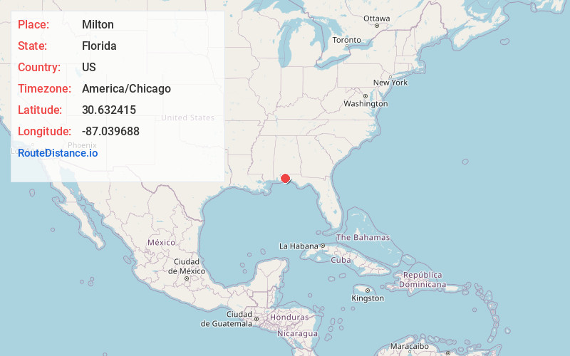
Full AddressMilton, FL
-
Coordinates30.6324149, -87.0396881
-
LocationMilton , Florida , US
-
TimezoneAmerica/Chicago
-
Current Local Time7:53:59 PM America/ChicagoTuesday, June 17, 2025
-
Page Views0
About Milton
Milton is a city and county seat of Santa Rosa County, Florida, United States. It is located within the Pensacola metropolitan area. The city was first Incorporated in 1844, however certain areas such as East Milton, Point Baker, and Bagdad remain unincorporated.


Nearby Places
Found 10 places within 50 miles

Pace
7.6 mi
12.2 km
Pace, FL 32571
Get directions

Ferry Pass
13.3 mi
21.4 km
Ferry Pass, FL
Get directions

Gonzalez
15.4 mi
24.8 km
Gonzalez, FL
Get directions
Ensley
15.9 mi
25.6 km
Ensley, FL
Get directions

Brent
16.3 mi
26.2 km
Brent, FL
Get directions

Navarre
17.1 mi
27.5 km
Navarre, FL
Get directions

Pensacola
18.8 mi
30.3 km
Pensacola, FL
Get directions

West Pensacola
20.2 mi
32.5 km
West Pensacola, FL
Get directions

Bellview
20.2 mi
32.5 km
Bellview, FL
Get directions
Myrtle Grove
21.6 mi
34.8 km
Myrtle Grove, FL
Get directions
Location Links
Local Weather
Weather Information
Coming soon!
Location Map
Static map view of Milton, Florida
Browse Places by Distance
Places within specific distances from Milton
Short Distances
Long Distances
Click any distance to see all places within that range from Milton. Distances shown in miles (1 mile ≈ 1.61 kilometers).